Transport Functions
Rail
Road
Hub Profile
Place type
Provincial seat
Region
Stockholm
Population
40,832
Time zone
Europe/Stockholm
Elevation
25 m
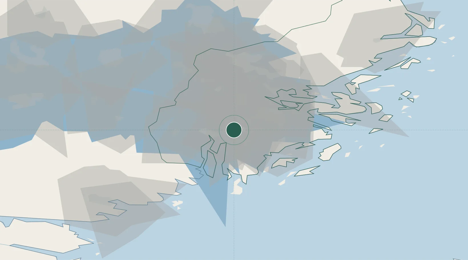
Location
Nearby Logistics Neighbours
Cities
- 1Vårby6 km
- 2Södertälje10 km
- 3Segeltorp11 km
- 4Älvsjö/Stockholm13 km
- 5Kagghamra13 km
Ports
- 1Sodertalje10 km
- 2Stockholm20 km
- 3Nynashamn34 km
- 4Gustavsberg35 km
- 5Nykoping68 km
Airports
- 1Stockholm-Bromma Airport19 km
- 2Stockholm-Arlanda Airport50 km
- 3Eskilstuna Airport65 km
- 4Stockholm Skavsta Airport69 km
- 5Stockholm Västerås Airport80 km
Trade Zones
- 1Stockholm Free Zone24 km
- 2Jönköping Free Zone269 km
- 3Turku Free Zone282 km
- 4Freeport of Hanko294 km
- 5Free port of Ventspils295 km
DatabookThe Record of Consolidated Knowledge
Sweden beyond logistics?