UN/LOCODE hub · Sweden
SEUND

Underås

59.2667°, 17.5333°
1
Transport functions

Transport Functions

Port
UN/LOCODE

Hub Profile

Region
AB
GeoNames

Location

Location of SEUND
Natural Earth 10m (public domain) · AB · SEUND · 59.27, 17.53GoogleOSMYandex

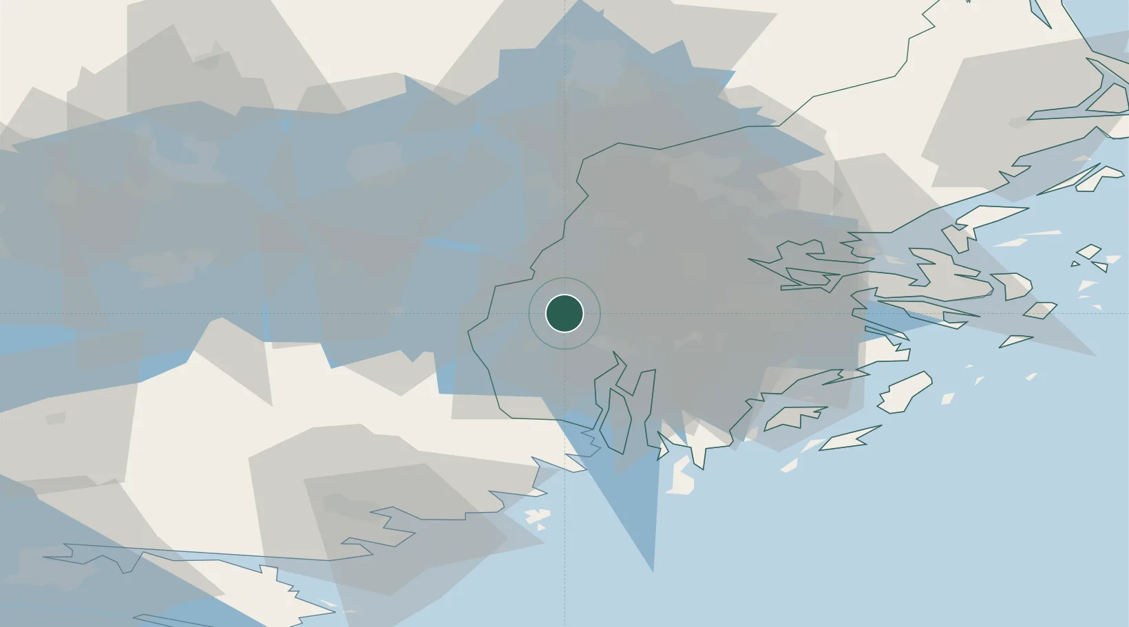
Nearby Logistics Neighbours

Cities
  1. 1Hässelbyverket/Stockholm10 km
  2. 2Södertälje13 km
  3. 3Löten17 km
  4. 4Tumba18 km
  5. 5Vårby19 km
Nearest neighbours — logibook spatial index (haversine) over the source coordinates
Ports
  1. 1Sodertalje11 km
  2. 2Stockholm30 km
  3. 3Nynashamn48 km
  4. 4Gustavsberg49 km
  5. 5Nykoping65 km
Nearest neighbours — logibook spatial index (haversine) over the source coordinates
Airports
  1. 1Stockholm-Bromma Airport25 km
  2. 2Eskilstuna Airport48 km
  3. 3Stockholm-Arlanda Airport48 km
  4. 4Stockholm Västerås Airport62 km
  5. 5Stockholm Skavsta Airport64 km
Nearest neighbours — logibook spatial index (haversine) over the source coordinates
Trade Zones
  1. 1Stockholm Free Zone34 km
  2. 2Jönköping Free Zone260 km
  3. 3Turku Free Zone292 km
  4. 4Freeport of Hanko308 km
  5. 5Free port of Ventspils312 km
Nearest neighbours — logibook spatial index (haversine) over the source coordinates
DatabookThe Record of Consolidated Knowledge
Sweden beyond logistics?
Browse databook

All Sources

LocationsUN/LOCODE
UN/LOCODE — free
Portsthe NGA World Port Index
Public domain (US gov)
AirportsOurAirports
Public domain
Trade Zonesthe World Bank SEZ database
CC BY 4.0
Trade ZonesOpen Zone Map
CC BY
← Sweden locations