UN/LOCODE hub · Sweden
SEVRB

Vårby

59.2500°, 17.8667°
10,115
Population
1
Transport functions

Transport Functions

Port
UN/LOCODE

Hub Profile

Place type
Populated place
GeoNames
Region
Stockholm
GeoNames
Population
10,115
GeoNames
Time zone
Europe/Stockholm
GeoNames
Elevation
32 m
GeoNames

Location

Location of SEVRB
Natural Earth 10m (public domain) · Stockholm · SEVRB · 59.25, 17.87GoogleOSMYandex

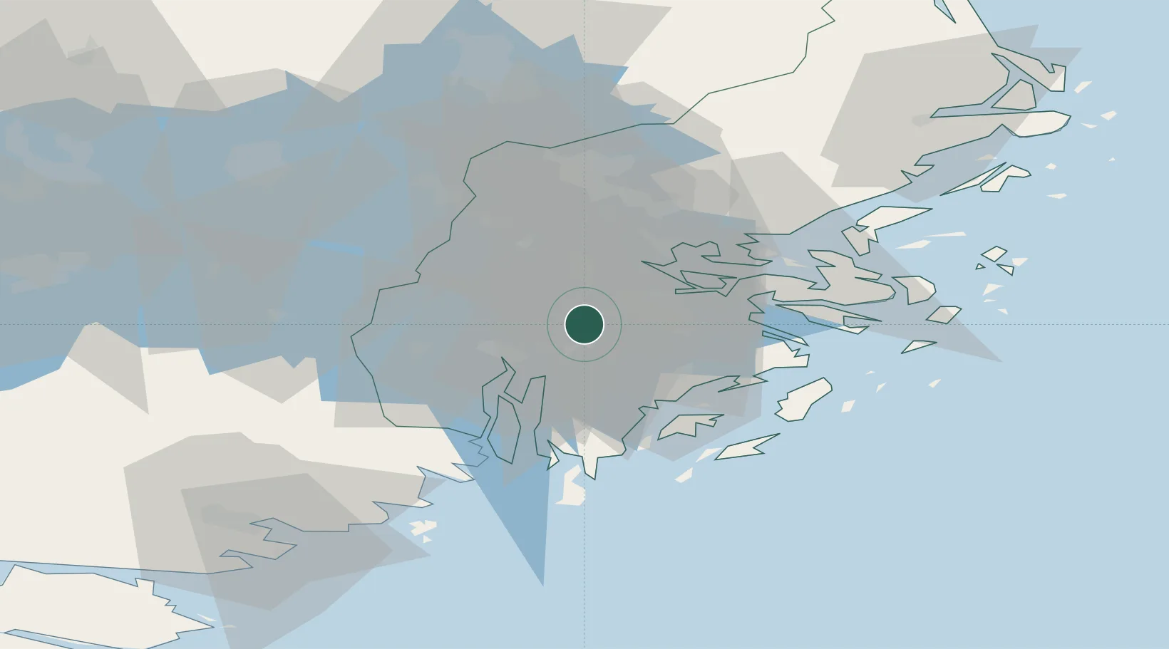
Nearby Logistics Neighbours

Cities
  1. 1Segeltorp5 km
  2. 2Tumba6 km
  3. 3Drottningholm8 km
  4. 4Älvsjö/Stockholm8 km
  5. 5Stockholm12 km
Nearest neighbours — logibook spatial index (haversine) over the source coordinates
Ports
  1. 1Stockholm14 km
  2. 2Sodertalje14 km
  3. 3Gustavsberg30 km
  4. 4Nynashamn39 km
  5. 5Nykoping74 km
Nearest neighbours — logibook spatial index (haversine) over the source coordinates
Airports
  1. 1Stockholm-Bromma Airport12 km
  2. 2Stockholm-Arlanda Airport44 km
  3. 3Eskilstuna Airport67 km
  4. 4Stockholm Skavsta Airport75 km
  5. 5Stockholm Västerås Airport79 km
Nearest neighbours — logibook spatial index (haversine) over the source coordinates
Trade Zones
  1. 1Stockholm Free Zone18 km
  2. 2Jönköping Free Zone274 km
  3. 3Turku Free Zone277 km
  4. 4Freeport of Hanko290 km
  5. 5Free port of Ventspils296 km
Nearest neighbours — logibook spatial index (haversine) over the source coordinates
DatabookThe Record of Consolidated Knowledge
Sweden beyond logistics?
Browse databook

All Sources

LocationsUN/LOCODE
UN/LOCODE — free
LocationsGeoNames
CC BY 4.0
Portsthe NGA World Port Index
Public domain (US gov)
AirportsOurAirports
Public domain
Trade Zonesthe World Bank SEZ database
CC BY 4.0
Trade ZonesOpen Zone Map
CC BY
← Sweden locations