Transport Functions
Port
Rail
Road
Multimodal
Hub Profile
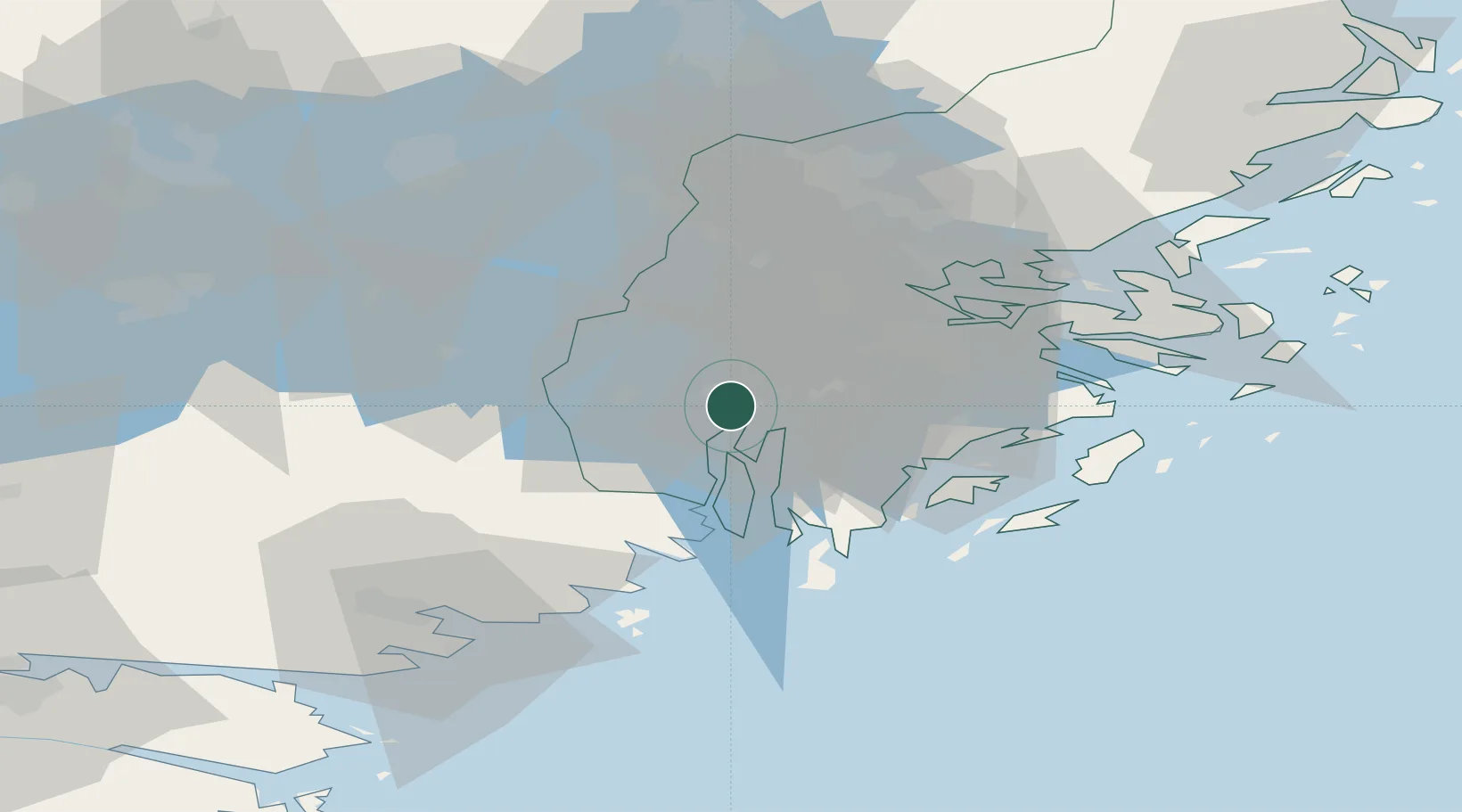
Region
AB
Logistics facilities
4
Container terminals
1
Location
Nearby Logistics Neighbours
Ports
- 1Stockholm29 km
- 2Nynashamn34 km
- 3Gustavsberg45 km
- 4Nykoping59 km
- 5Oxelosund64 km
Airports
- 1Stockholm-Bromma Airport27 km
- 2Stockholm-Arlanda Airport56 km
- 3Eskilstuna Airport58 km
- 4Stockholm Skavsta Airport60 km
- 5Stockholm Västerås Airport75 km
Trade Zones
- 1Stockholm Free Zone33 km
- 2Jönköping Free Zone259 km
- 3Turku Free Zone292 km
- 4Free port of Ventspils299 km
- 5Freeport of Hanko304 km
DatabookThe Record of Consolidated Knowledge
Sweden beyond logistics?