Transport Functions
Port
Hub Profile
Place type
Locality
Region
Stockholm
Population
206
Time zone
Europe/Stockholm
Elevation
54 m
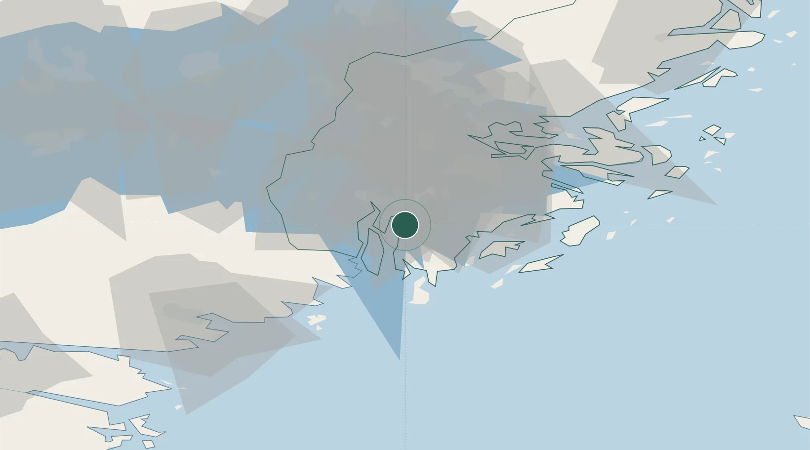
Location
Nearby Logistics Neighbours
Cities
- 1Södertälje12 km
- 2Tumba13 km
- 3Hölö15 km
- 4Stora Vika17 km
- 5Vårby19 km
Ports
- 1Sodertalje14 km
- 2Nynashamn23 km
- 3Stockholm32 km
- 4Gustavsberg43 km
- 5Nykoping58 km
Airports
- 1Stockholm-Bromma Airport32 km
- 2Stockholm Skavsta Airport60 km
- 3Stockholm-Arlanda Airport63 km
- 4Eskilstuna Airport68 km
- 5Stockholm Västerås Airport86 km
Trade Zones
- 1Stockholm Free Zone35 km
- 2Jönköping Free Zone260 km
- 3Free port of Ventspils288 km
- 4Turku Free Zone291 km
- 5Freeport of Hanko300 km
DatabookThe Record of Consolidated Knowledge
Sweden beyond logistics?