Transport Functions
Rail
Road
Multimodal
Hub Profile
Place type
Populated place
Region
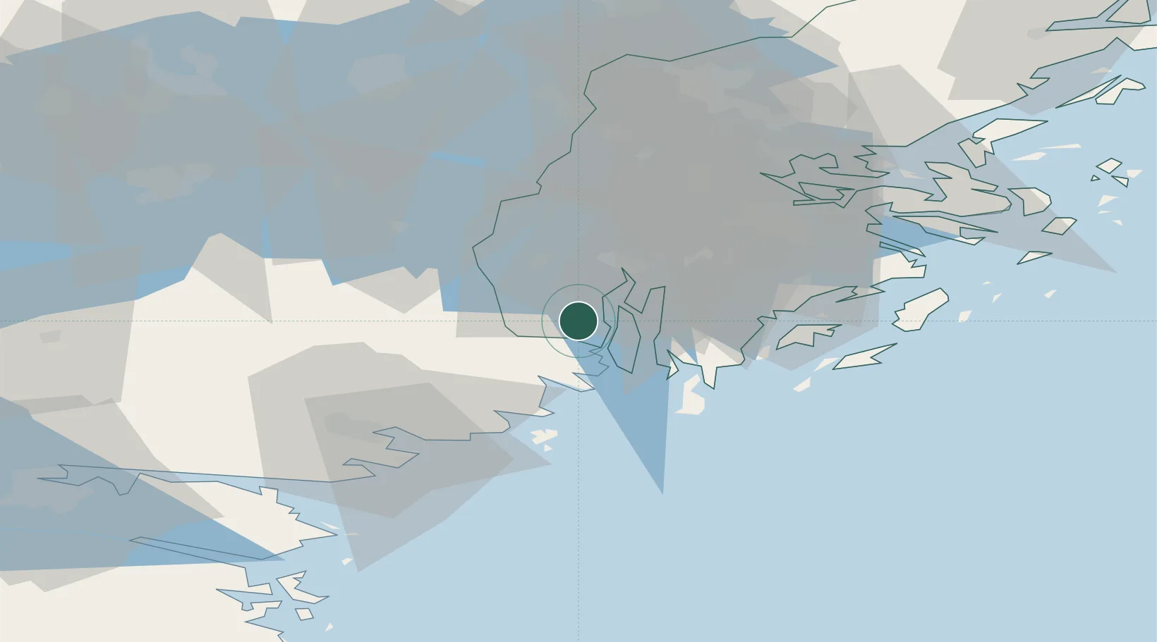
Stockholm
Population
1,199
Time zone
Europe/Stockholm
Elevation
30 m
Location
Nearby Logistics Neighbours
Cities
- 1Kagghamra15 km
- 2Södertälje16 km
- 3Stora Vika18 km
- 4Tumba24 km
- 5Nyköping26 km
Ports
- 1Sodertalje18 km
- 2Nynashamn28 km
- 3Stockholm44 km
- 4Nykoping44 km
- 5Oxelosund48 km
Airports
- 1Stockholm-Bromma Airport42 km
- 2Stockholm Skavsta Airport46 km
- 3Eskilstuna Airport60 km
- 4Stockholm-Arlanda Airport72 km
- 5Stockholm Västerås Airport81 km
Trade Zones
- 1Stockholm Free Zone48 km
- 2Jönköping Free Zone246 km
- 3Free port of Ventspils295 km
- 4Turku Free Zone305 km
- 5Freeport of Hanko314 km
DatabookThe Record of Consolidated Knowledge
Sweden beyond logistics?