Seaport · Sweden

OxelosundSEOXE

58.6667°, 17.1167°
4.9 m
Channel depth
9.7
Port liner connectivity
Oxelosund is also a UN/LOCODE logistics hub →

Channel & Berth Profile

SEA LEVEL (CD)CHANNEL BEDChannel · 4.9 mCargo pier · 11.0 mOil terminal · 12.5 mAnchorage · 14.0 m
NGA World Port Index

Pilotage, Tugs & Services

Pilotage compulsoryYES
Pilotage availableYES
Tug assistanceYES
Potable waterYES
MedicalYES
Garbage disposalYES
NGA World Port Index

Facilities & Capabilities

ContainerYES
Ro-RoYES
Liquid bulkYES
Dry bulkYES
Oil terminalNO
Break bulkYES
Dry dock
RepairsNO
BunkeringYES
Rail linkYES
Dangerous cargo
ISPS security
NGA World Port Index

Harbour Specifications

Harbour size
Small
NGA World Port Index
Harbour type
Coastal (Natural)
NGA World Port Index
Shelter
Good
NGA World Port Index
Water body
Baltic Sea; North Atlantic Ocean
NGA World Port Index
Overhead limit
Yes
NGA World Port Index
Pilotage
Yes
NGA World Port Index

Liner Connectivity

9.7
PLSCI

Port Liner Shipping Connectivity Index for Oxelosund, as published by UNCTAD for the latest available quarter. Higher values indicate stronger scheduled liner-shipping integration.

Shown relative to the highest per-port PLSCI in the dataset (1,657.9).
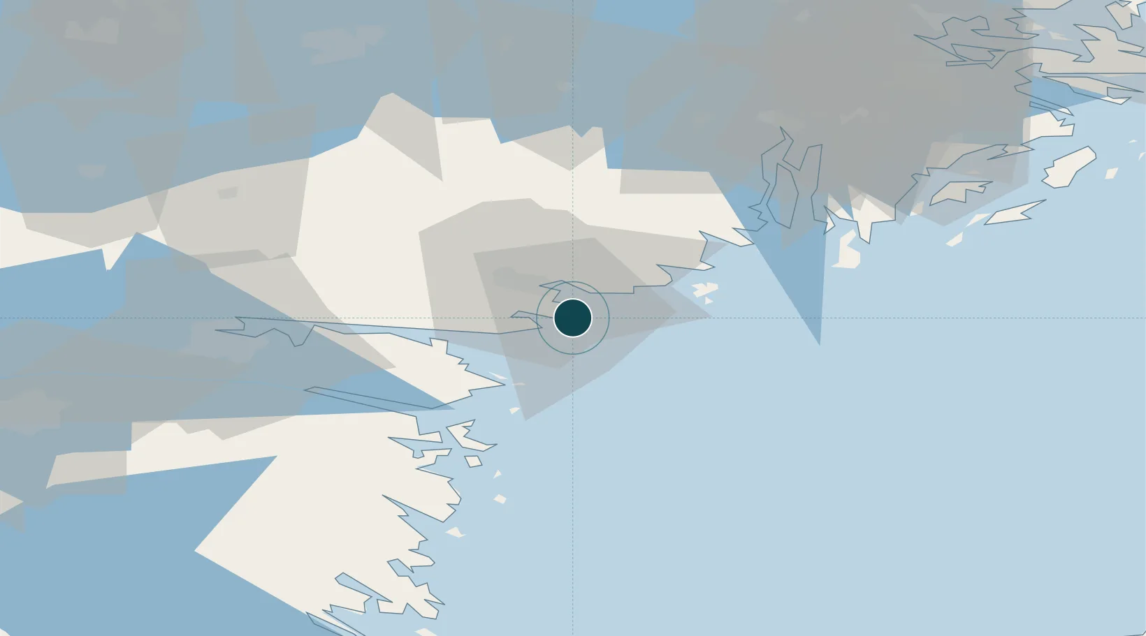
UNCTAD · Port Liner Shipping Connectivity Index

Location

Location of SEOXE
Natural Earth 10m (public domain) · Södermanland · SEOXE · 58.67, 17.12GoogleOSMYandex

Nearby Logistics Neighbours

Ports
  1. 1Nykoping11 km
  2. 2Norrkoping54 km
  3. 3Nynashamn55 km
  4. 4Sodertalje65 km
  5. 5Stockholm91 km
Nearest neighbours — logibook spatial index (haversine) over the source coordinates
Cities
  1. 1Studsvik19 km
  2. 2Marviken21 km
  3. 3Stigtomta24 km
  4. 4Nyköping28 km
  5. 5Bråviken34 km
Nearest neighbours — logibook spatial index (haversine) over the source coordinates
Airports
  1. 1Stockholm Skavsta Airport18 km
  2. 2Norrköping Airport51 km
  3. 3Eskilstuna Airport80 km
  4. 4Linköping City Airport88 km
  5. 5Stockholm-Bromma Airport90 km
Nearest neighbours — logibook spatial index (haversine) over the source coordinates
Trade Zones
  1. 1Stockholm Free Zone95 km
  2. 2Jönköping Free Zone203 km
  3. 3Free port of Ventspils295 km
  4. 4Gothenburg Boundless Customs Warehouse329 km
  5. 5Turku Free Zone348 km
Nearest neighbours — logibook spatial index (haversine) over the source coordinates
DatabookThe Record of Consolidated Knowledge
Sweden beyond logistics?
Browse databook

All Sources

Portsthe NGA World Port Index
Public domain (US gov)
Logistics performanceUNCTAD
CC BY 3.0 IGO
AirportsOurAirports
Public domain
LocationsUN/LOCODE
UN/LOCODE — free
Trade Zonesthe World Bank SEZ database
CC BY 4.0
Trade ZonesOpen Zone Map
CC BY
← Sweden ports