Seaport · Sweden
StockholmSESTO
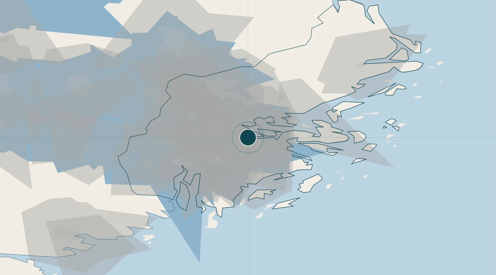
59.3333°, 18.0500°
9.4 m
Channel depth
6
Container terminals
28.4
Port liner connectivity
Channel & Berth Profile
Pilotage, Tugs & Services
Pilotage compulsoryYES
Pilotage availableYES
Pilotage advisableYES
Tug assistanceYES
Salvage tugsYES
Shore powerYES
Potable waterYES
Diesel bunkersYES
MedicalYES
Garbage disposalYES
Facilities & Capabilities
ContainerYES
Ro-RoYES
Liquid bulkYES
Dry bulkYES
Oil terminalNO
Break bulkYES
Dry dockNO
RepairsNO
BunkeringYES
Rail linkYES
Dangerous cargo—
ISPS security—
Harbour Specifications
Harbour size
Large
Harbour type
Coastal (Breakwater)
Shelter
Good
Water body
Baltic Sea; North Atlantic Ocean
Overhead limit
Yes
Pilotage
Yes
Liner Connectivity
28.4
PLSCI
Port Liner Shipping Connectivity Index for Stockholm, as published by UNCTAD for the latest available quarter. Higher values indicate stronger scheduled liner-shipping integration.
Shown relative to the highest per-port PLSCI in the dataset (1,657.9).
Location
Container Terminals · 6
CONTAINER TERMINAL FRIHAMNEN
CTS PORTS OF STOCKHOLM
CONTAINER TERMINAL STOCKHOLM-NORVIK
NCS HUTCHISON PORTS STOCKHOLM
RORO TERMINAL STOCKHOLM-NORVIK
NRS PORTS OF STOCKHOLM
RORO TERMINAL FRIHAMNEN
RTF PORTS OF STOCKHOLM
RORO TERMINAL SILJA (VARTAHAMNEN)
RTS PORTS OF STOCKHOLM
RORO TERMINAL VIKING (STADSGARDEN)
RTV PORTS OF STOCKHOLM
Nearby Logistics Neighbours
Ports
- 1Gustavsberg19 km
- 2Sodertalje28 km
- 3Nynashamn48 km
- 4Hallstavik85 km
- 5Nykoping88 km
Cities
- 1Tomteboda/Solna3 km
- 2Bällstaviken5 km
- 3Sickla5 km
- 4Bergs oljehamn7 km
- 5Älvsjö/Stockholm8 km
Airports
Trade Zones
- 1Stockholm Free Zone4 km
- 2Turku Free Zone263 km
- 3Freeport of Hanko278 km
- 4Jönköping Free Zone288 km
- 5Free port of Ventspils295 km
DatabookThe Record of Consolidated Knowledge
Sweden beyond logistics?