Large airport · Sweden
Stockholm Skavsta AirportESKN
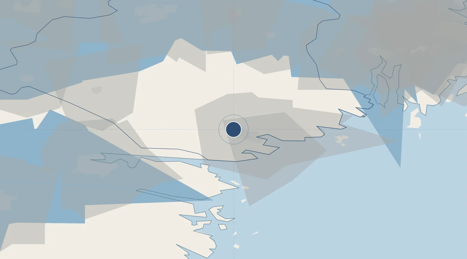
58.7897°, 16.9115°
9,442 ft
Longest runway
2
Runways
140 ft
Elevation
Runway & Layout

Radio Frequencies
ATIS
126.28 MHz
TWR
127.705 MHz
Skavsta TWR
APP
132.955 MHz
Östgöta APP
Runways · 2
| Runway | Dimensions | Surface | True heading | Lit |
|---|---|---|---|---|
| 08/26 | 9,442 × 148ft | Asphalt | 083° | ✓ |
| 16/34 | 6,690 × 131ft | Asphalt | 162° | ✓ |
Airport Specifications
IATA code
NYO
ICAO code
ESKN
Airport class
Large airport
Scheduled service
Yes
Runway surface
Asphalt
Served city
Nyköping
Location
Nearby Logistics Neighbours
Airports
- 1Norrköping Airport44 km
- 2Eskilstuna Airport64 km
- 3Linköping City Airport83 km
- 4Stockholm-Bromma Airport86 km
- 5Stockholm Västerås Airport90 km
Ports
- 1Nykoping8 km
- 2Oxelosund18 km
- 3Norrkoping47 km
- 4Sodertalje61 km
- 5Nynashamn62 km
Trade Zones
- 1Stockholm Free Zone93 km
- 2Jönköping Free Zone200 km
- 3Free port of Ventspils312 km
- 4Gothenburg Boundless Customs Warehouse322 km
- 5Turku Free Zone350 km
DatabookThe Record of Consolidated Knowledge
Sweden beyond logistics?