Channel & Berth Profile
Pilotage, Tugs & Services
Pilotage compulsoryYES
Pilotage availableYES
Pilotage advisableYES
Tug assistanceYES
Potable waterYES
Diesel bunkersYES
MedicalYES
Garbage disposalYES
Facilities & Capabilities
ContainerNO
Ro-RoYES
Liquid bulkYES
Dry bulkYES
Oil terminalNO
Break bulkYES
Dry dock—
RepairsNO
BunkeringYES
Rail linkYES
Dangerous cargo—
ISPS security—
Harbour Specifications
Harbour size
Small
Harbour type
Coastal (Natural)
Shelter
Good
Water body
Gulf of Bothnia; Baltic Sea; North Atlantic Ocean
Overhead limit
Yes
Pilotage
Yes
Liner Connectivity
9.9
PLSCI
Port Liner Shipping Connectivity Index for Skelleftehamn, as published by UNCTAD for the latest available quarter. Higher values indicate stronger scheduled liner-shipping integration.
Shown relative to the highest per-port PLSCI in the dataset (1,657.9).
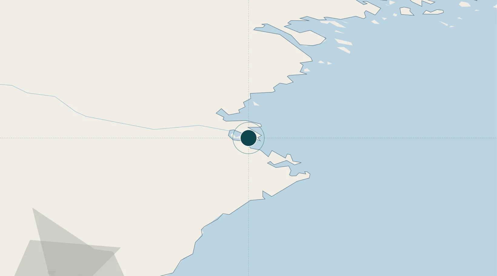
Location
Nearby Logistics Neighbours
Cities
- 1Skelleftehamn1 km
- 2Bygdsiljum51 km
- 3Robertsfors59 km
- 4Haraholmen64 km
- 5Piteå64 km
Airports
- 1Skellefteå Airport10 km
- 2Luleå Airport104 km
- 3Umeå Airport109 km
- 4Lycksele Airport121 km
- 5Arvidsjaur Airport136 km
Trade Zones
- 1Oulu Port Free Warehouse Area201 km
- 2Turku Free Zone474 km
- 3Free Zone of Lappeenranta534 km
- 4Freeport of Hanko546 km
- 5Port of Hamina-Kotka552 km
DatabookThe Record of Consolidated Knowledge
Sweden beyond logistics?