UN/LOCODE hub · Sweden
SEHAH

Haraholmen

65.2333°, 21.6500°
1
Transport functions

Transport Functions

Port
UN/LOCODE

Hub Profile

Region
BD
GeoNames

Location

Location of SEHAH
Natural Earth 10m (public domain) · BD · SEHAH · 65.23, 21.65GoogleOSMYandex

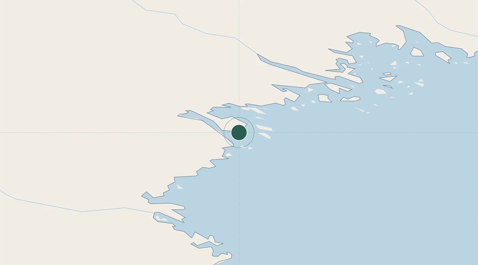
Nearby Logistics Neighbours

Cities
  1. 1Piteå1 km
  2. 2Öjebyn17 km
  3. 3Luleå45 km
  4. 4Skellefteå61 km
  5. 5Skelleftehamn65 km
Nearest neighbours — logibook spatial index (haversine) over the source coordinates
Ports
  1. 1Pitea12 km
  2. 2Brannfors27 km
  3. 3Lulea46 km
  4. 4Skelleftehamn64 km
  5. 5Torehamn87 km
Nearest neighbours — logibook spatial index (haversine) over the source coordinates
Airports
  1. 1Luleå Airport41 km
  2. 2Skellefteå Airport73 km
  3. 3Arvidsjaur Airport117 km
  4. 4Kemi-Tornio Airport148 km
  5. 5Lycksele Airport158 km
Nearest neighbours — logibook spatial index (haversine) over the source coordinates
Trade Zones
  1. 1Oulu Port Free Warehouse Area178 km
  2. 2Turku Free Zone533 km
  3. 3Free Zone of Lappeenranta568 km
  4. 4Port of Hamina-Kotka593 km
  5. 5Freeport of Hanko604 km
Nearest neighbours — logibook spatial index (haversine) over the source coordinates
DatabookThe Record of Consolidated Knowledge
Sweden beyond logistics?
Browse databook

All Sources

LocationsUN/LOCODE
UN/LOCODE — free
Portsthe NGA World Port Index
Public domain (US gov)
AirportsOurAirports
Public domain
Trade Zonesthe World Bank SEZ database
CC BY 4.0
Trade ZonesOpen Zone Map
CC BY
← Sweden locations