Medium airport · Sweden
Lycksele AirportESNL
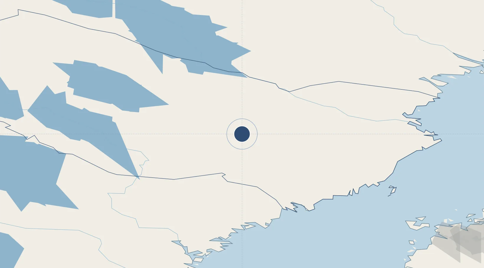
64.5483°, 18.7162°
6,564 ft
Longest runway
1
Runways
705 ft
Elevation
Runway & Layout

Radio Frequencies
AFIS
122.225 MHz
Runways · 1
| Runway | Dimensions | Surface | True heading | Lit |
|---|---|---|---|---|
| 14/32 | 6,564 × 98ft | Asphalt | 143° | ✓ |
Airport Specifications
IATA code
LYC
ICAO code
ESNL
Airport class
Medium airport
Scheduled service
Yes
Runway surface
Asphalt
Served city
Lycksele
Location
Nearby Logistics Neighbours
Airports
- 1Storuman Airport67 km
- 2Vilhelmina South Lapland Airport90 km
- 3Skellefteå Airport113 km
- 4Umeå Airport113 km
- 5Arvidsjaur Airport119 km
Cities
- 1Vännäs86 km
- 2Bygdsiljum88 km
- 3Adak89 km
- 4Storuman98 km
- 5Nordmaling104 km
Ports
- 1Nordmaling115 km
- 2Rundvik118 km
- 3Skelleftehamn121 km
- 4Obbola123 km
- 5Umea Hamn123 km
Trade Zones
- 1Oulu Port Free Warehouse Area321 km
- 2Turku Free Zone490 km
- 3Freeport of Hanko567 km
- 4Stockholm Free Zone579 km
- 5Port of Hamina-Kotka619 km
DatabookThe Record of Consolidated Knowledge
Sweden beyond logistics?