Seaport · Sweden
PiteaSEPIT
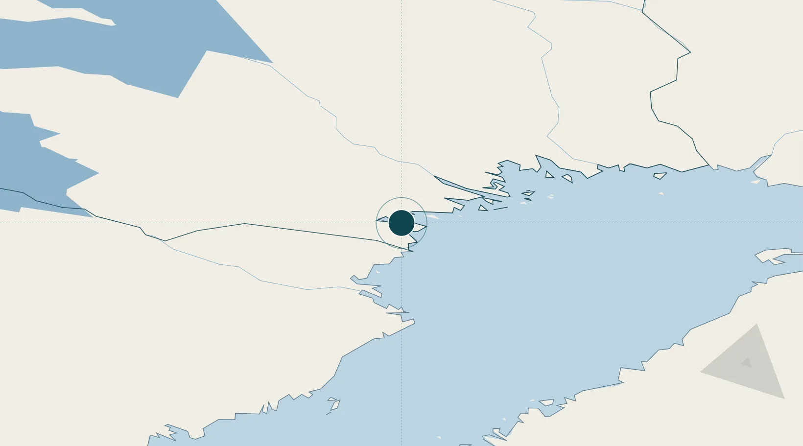
65.3167°, 21.4833°
11.0 m
Channel depth
1
Container terminals
10.8
Port liner connectivity
Channel & Berth Profile
Pilotage, Tugs & Services
Pilotage compulsoryYES
Pilotage availableYES
Pilotage advisableYES
Local assistanceYES
Tug assistanceYES
Potable waterYES
MedicalYES
Garbage disposalYES
Facilities & Capabilities
ContainerYES
Ro-RoYES
Liquid bulkYES
Dry bulkYES
Oil terminalNO
Break bulkYES
Dry dock—
RepairsNO
BunkeringYES
Rail linkYES
Dangerous cargo—
ISPS security—
Harbour Specifications
Harbour size
Small
Harbour type
Coastal (Natural)
Shelter
Good
Water body
Gulf of Bothnia; Baltic Sea; North Atlantic Ocean
Tidal range
1 m
Overhead limit
Yes
Pilotage
Yes
Liner Connectivity
10.8
PLSCI
Port Liner Shipping Connectivity Index for Pitea, as published by UNCTAD for the latest available quarter. Higher values indicate stronger scheduled liner-shipping integration.
Shown relative to the highest per-port PLSCI in the dataset (1,657.9).
Location
Container Terminals · 1
SHORELINK PITEA PORT
SHL SHORELINK AB
Nearby Logistics Neighbours
Ports
- 1Brannfors34 km
- 2Lulea43 km
- 3Skelleftehamn71 km
- 4Torehamn84 km
- 5Karlsborg99 km
Cities
- 1Öjebyn5 km
- 2Haraholmen12 km
- 3Luleå43 km
- 4Skellefteå66 km
- 5Skelleftehamn72 km
Airports
- 1Luleå Airport39 km
- 2Skellefteå Airport79 km
- 3Arvidsjaur Airport106 km
- 4Kemi-Tornio Airport152 km
- 5Lycksele Airport156 km
Trade Zones
- 1Oulu Port Free Warehouse Area187 km
- 2Turku Free Zone543 km
- 3Free Zone of Lappeenranta580 km
- 4Port of Hamina-Kotka605 km
- 5Freeport of Hanko614 km
DatabookThe Record of Consolidated Knowledge
Sweden beyond logistics?