UN/LOCODE hub · Sweden
SEPIT
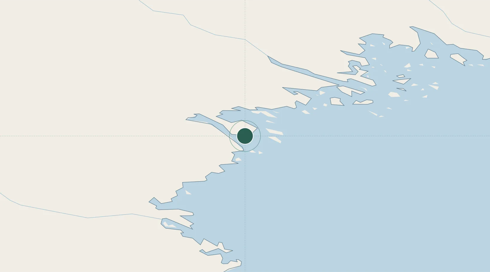
Piteå
65.2370°, 21.6260°
23,067
Population
3
Transport functions
1
Container terminals
Transport Functions
Port
Rail
Road
Hub Profile
Place type
Provincial seat
Region
Norrbotten
Population
23,067
Time zone
Europe/Stockholm
Elevation
6 m
Logistics facilities
3
Container terminals
1
Location
Nearby Logistics Neighbours
Cities
- 1Haraholmen1 km
- 2Öjebyn16 km
- 3Luleå46 km
- 4Skellefteå61 km
- 5Skelleftehamn65 km
Ports
- 1Brannfors27 km
- 2Lulea46 km
- 3Skelleftehamn64 km
- 4Torehamn88 km
- 5Karlsborg99 km
Airports
- 1Luleå Airport41 km
- 2Skellefteå Airport73 km
- 3Arvidsjaur Airport115 km
- 4Kemi-Tornio Airport149 km
- 5Lycksele Airport157 km
Trade Zones
- 1Oulu Port Free Warehouse Area179 km
- 2Turku Free Zone534 km
- 3Free Zone of Lappeenranta569 km
- 4Port of Hamina-Kotka594 km
- 5Freeport of Hanko605 km
DatabookThe Record of Consolidated Knowledge
Sweden beyond logistics?