UN/LOCODE hub · Sweden
SESKE
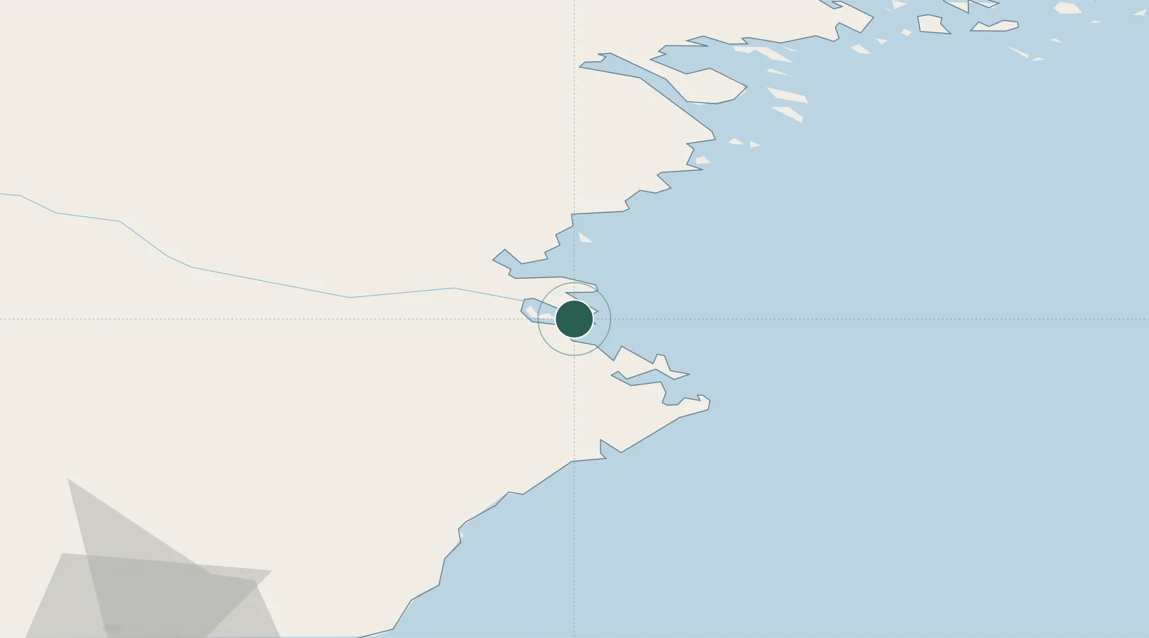
Skelleftehamn
64.6789°, 21.2506°
3,069
Population
1
Transport functions
1
Container terminals
Transport Functions
Port
Hub Profile
Place type
Populated place
Region
Västerbotten
Population
3,069
Time zone
Europe/Stockholm
Logistics facilities
1
Container terminals
1
Location
Nearby Logistics Neighbours
Cities
- 1Skellefteå17 km
- 2Bygdsiljum51 km
- 3Robertsfors58 km
- 4Haraholmen65 km
- 5Piteå65 km
Ports
- 1Skelleftehamn1 km
- 2Brannfors38 km
- 3Pitea72 km
- 4Lulea109 km
- 5Umea Hamn117 km
Airports
- 1Skellefteå Airport10 km
- 2Luleå Airport105 km
- 3Umeå Airport109 km
- 4Lycksele Airport122 km
- 5Arvidsjaur Airport137 km
Trade Zones
- 1Oulu Port Free Warehouse Area200 km
- 2Turku Free Zone473 km
- 3Free Zone of Lappeenranta533 km
- 4Freeport of Hanko546 km
- 5Port of Hamina-Kotka551 km
DatabookThe Record of Consolidated Knowledge
Sweden beyond logistics?