UN/LOCODE hub · Sweden
SEBYU

Bygdsiljum

64.3500°, 20.5000°
333
Population
2
Transport functions

Transport Functions

Road
Multimodal
UN/LOCODE

Hub Profile

Place type
Populated place
GeoNames
Region
Västerbotten
GeoNames
Population
333
GeoNames
Time zone
Europe/Stockholm
GeoNames
Elevation
151 m
GeoNames

Location

Location of SEBYU
Natural Earth 10m (public domain) · Västerbotten · SEBYU · 64.35, 20.50GoogleOSMYandex

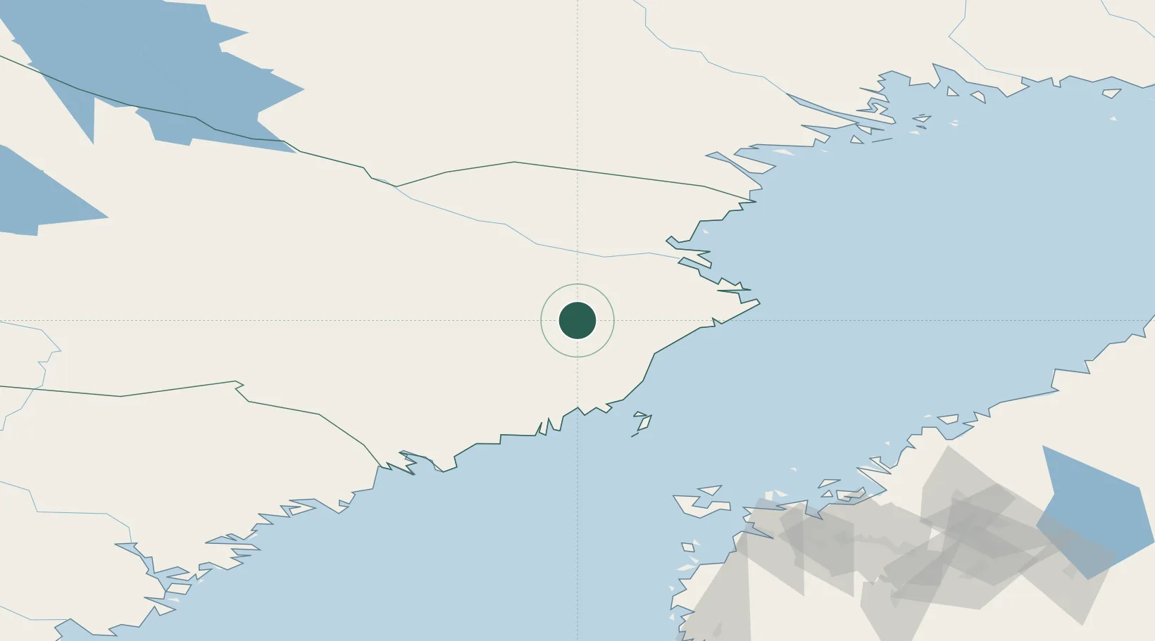
Nearby Logistics Neighbours

Cities
  1. 1Robertsfors25 km
  2. 2Skellefteå51 km
  3. 3Skelleftehamn51 km
  4. 4Vännäs60 km
  5. 5Umeå73 km
Nearest neighbours — logibook spatial index (haversine) over the source coordinates
Ports
  1. 1Skelleftehamn51 km
  2. 2Umea Hamn73 km
  3. 3Obbola73 km
  4. 4Brannfors85 km
  5. 5Nordmaling100 km
Nearest neighbours — logibook spatial index (haversine) over the source coordinates
Airports
  1. 1Skellefteå Airport41 km
  2. 2Umeå Airport63 km
  3. 3Lycksele Airport88 km
  4. 4Örnsköldsvik Airport128 km
  5. 5Kokkola-Pietarsaari Airport146 km
Nearest neighbours — logibook spatial index (haversine) over the source coordinates
Trade Zones
  1. 1Oulu Port Free Warehouse Area244 km
  2. 2Turku Free Zone443 km
  3. 3Freeport of Hanko518 km
  4. 4Free Zone of Lappeenranta534 km
  5. 5Port of Hamina-Kotka544 km
Nearest neighbours — logibook spatial index (haversine) over the source coordinates
DatabookThe Record of Consolidated Knowledge
Sweden beyond logistics?
Browse databook

All Sources

LocationsUN/LOCODE
UN/LOCODE — free
LocationsGeoNames
CC BY 4.0
Portsthe NGA World Port Index
Public domain (US gov)
AirportsOurAirports
Public domain
Trade Zonesthe World Bank SEZ database
CC BY 4.0
Trade ZonesOpen Zone Map
CC BY
← Sweden locations