Transport Functions
Port
Rail
Road
Airport
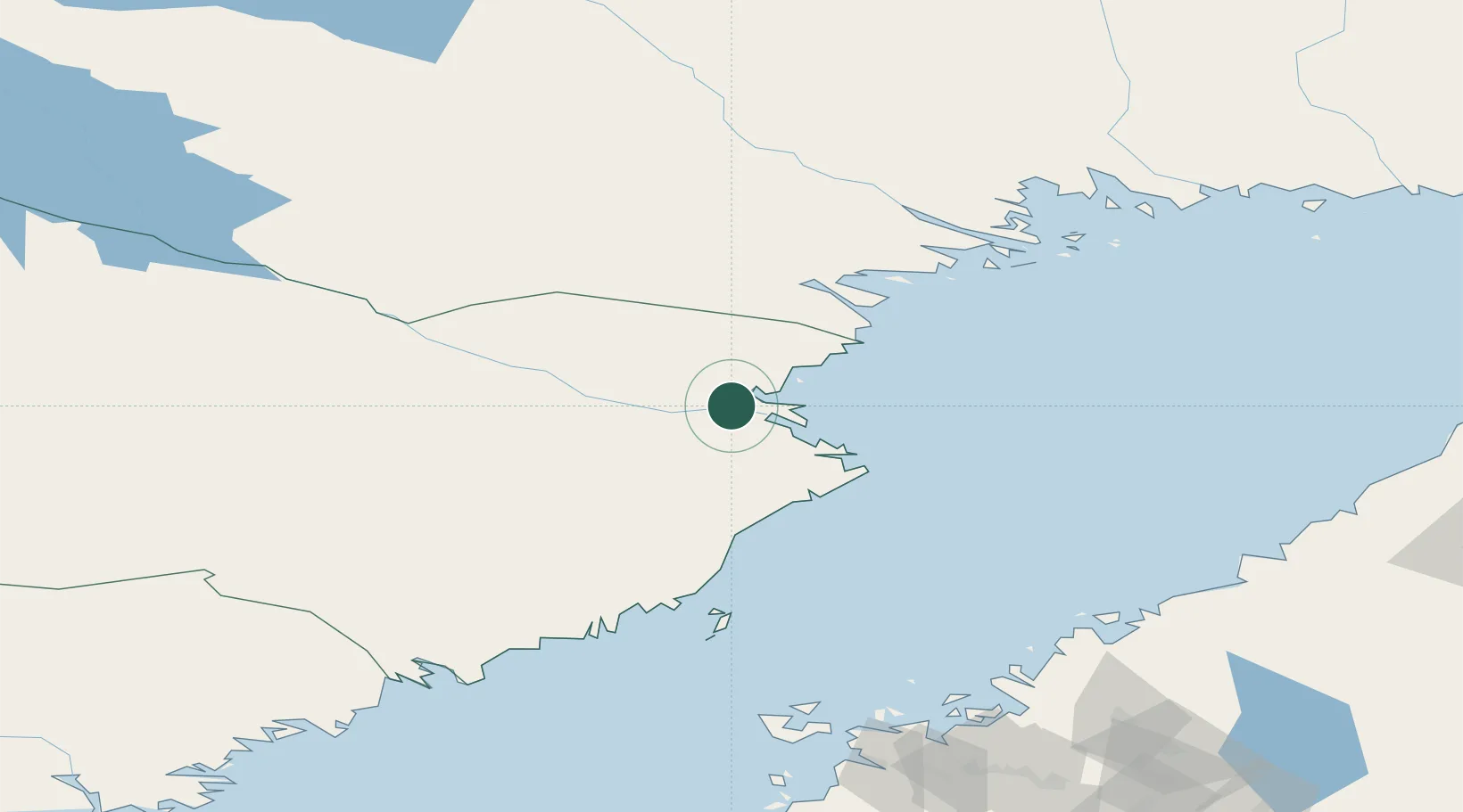
Hub Profile
Place type
Provincial seat
Region
Västerbotten
Population
35,516
Time zone
Europe/Stockholm
Elevation
34 m
Location
Nearby Logistics Neighbours
Cities
- 1Skelleftehamn17 km
- 2Bygdsiljum51 km
- 3Piteå61 km
- 4Haraholmen61 km
- 5Robertsfors65 km
Airports
- 1Skellefteå Airport17 km
- 2Luleå Airport102 km
- 3Lycksele Airport109 km
- 4Umeå Airport113 km
- 5Arvidsjaur Airport120 km
Trade Zones
- 1Oulu Port Free Warehouse Area212 km
- 2Turku Free Zone485 km
- 3Free Zone of Lappeenranta550 km
- 4Freeport of Hanko558 km
- 5Port of Hamina-Kotka567 km
DatabookThe Record of Consolidated Knowledge
Sweden beyond logistics?