Transport Functions
Road
Multimodal
Hub Profile
Place type
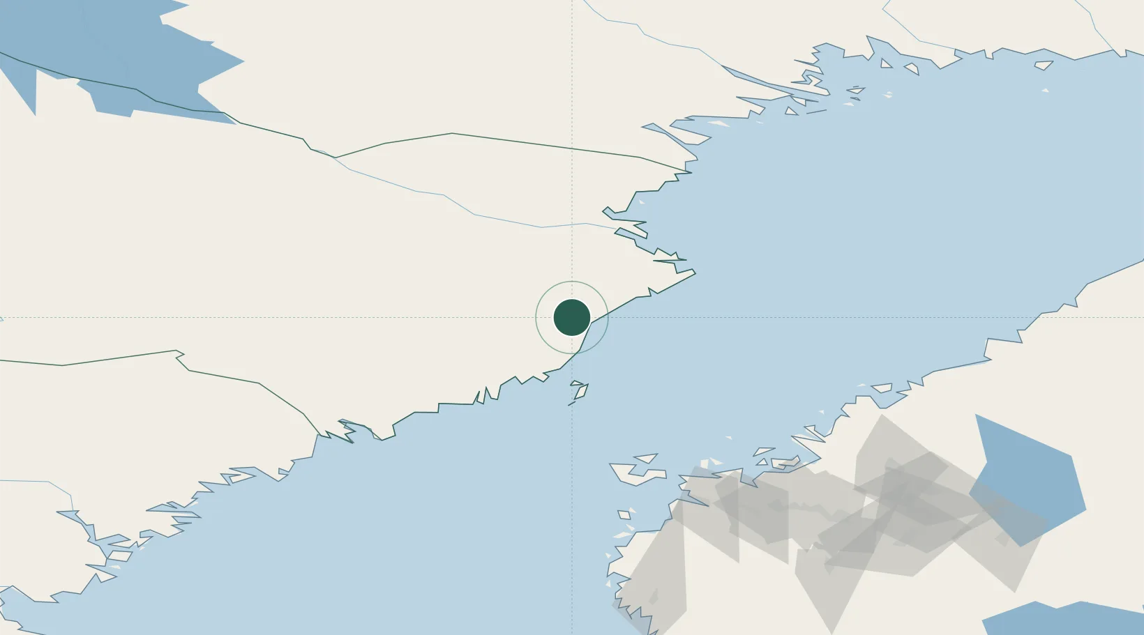
Provincial seat
Region
Västerbotten
Population
2,030
Time zone
Europe/Stockholm
Elevation
62 m
Location
Nearby Logistics Neighbours
Cities
- 1Bygdsiljum25 km
- 2Skelleftehamn58 km
- 3Umeå59 km
- 4Vännäs61 km
- 5Skellefteå65 km
Ports
- 1Skelleftehamn59 km
- 2Umea Hamn59 km
- 3Obbola59 km
- 4Nordmaling96 km
- 5Brannfors96 km
Airports
- 1Skellefteå Airport50 km
- 2Umeå Airport52 km
- 3Lycksele Airport110 km
- 4Kokkola-Pietarsaari Airport123 km
- 5Örnsköldsvik Airport126 km
Trade Zones
- 1Oulu Port Free Warehouse Area236 km
- 2Turku Free Zone422 km
- 3Freeport of Hanko496 km
- 4Free Zone of Lappeenranta509 km
- 5Port of Hamina-Kotka519 km
DatabookThe Record of Consolidated Knowledge
Sweden beyond logistics?