UN/LOCODE hub · Greece
GRGIA

Gialtra

22.9167°, 38.8500°
544
Population
1
Transport functions

Transport Functions

Multimodal
UN/LOCODE

Hub Profile

Place type
Populated place
GeoNames
Region
Central Greece
GeoNames
Population
544
GeoNames
Time zone
Europe/Athens
GeoNames
Elevation
141 m
GeoNames

Location

Location of GRGIA
Natural Earth 10m (public domain) · Central Greece · GRGIA · 22.92, 38.85GoogleOSMYandex

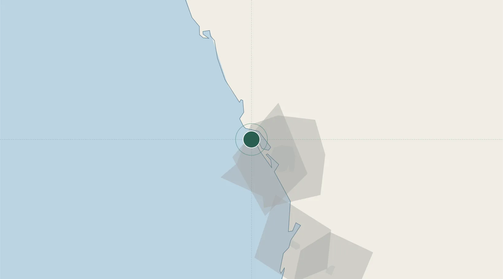
Nearby Logistics Neighbours

Cities
  1. 1King Abdullah City56 km
  2. 2Al Muajjiz78 km
  3. 3Yanbu Industrial City129 km
  4. 4Jeddah Yachts Club Port143 km
  5. 5Yanbu commercial city152 km
Nearest neighbours — logibook spatial index (haversine) over the source coordinates
Ports
  1. 1Rabigh25 km
  2. 2Yanbu153 km
  3. 3Jiddah163 km
  4. 4Port Sudan405 km
  5. 5Sawakin Harbor449 km
Nearest neighbours — logibook spatial index (haversine) over the source coordinates
Airports
  1. 1King Abdulaziz International Airport141 km
  2. 2Prince Abdulmohsen Bin Abdulaziz International Airport158 km
  3. 3King Faisal Naval Base178 km
  4. 4Prince Mohammad Bin Abdulaziz Airport202 km
  5. 5Mecca East Airport202 km
Nearest neighbours — logibook spatial index (haversine) over the source coordinates
Trade Zones
  1. 1Petro-Rabigh Private Industrial City28 km
  2. 2Rābigh Industrial City29 km
  3. 3King Abdullah Economic City60 km
  4. 4Jeddah Modon Oasis121 km
  5. 5Yanbu Industrial City135 km
Nearest neighbours — logibook spatial index (haversine) over the source coordinates
DatabookThe Record of Consolidated Knowledge
Greece beyond logistics?
Browse databook

All Sources

LocationsUN/LOCODE
UN/LOCODE — free
LocationsGeoNames
CC BY 4.0
Portsthe NGA World Port Index
Public domain (US gov)
AirportsOurAirports
Public domain
Trade Zonesthe World Bank SEZ database
CC BY 4.0
Trade ZonesOpen Zone Map
CC BY
← Greece locations