UN/LOCODE hub · Saudi Arabia
SAKAC
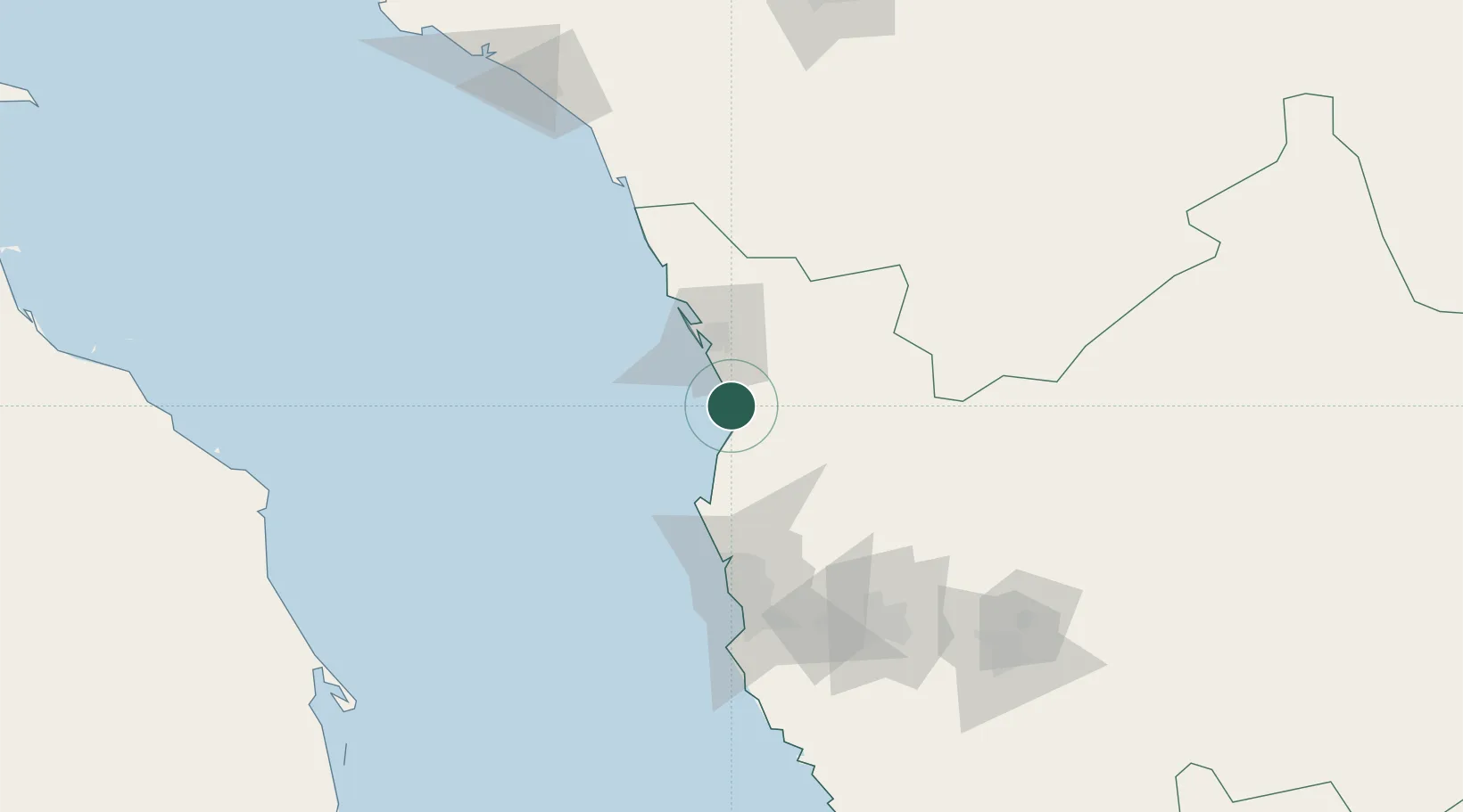
King Abdullah City
22.4706°, 39.1077°
2
Transport functions
1
Container terminals
Transport Functions
Port
Road
Hub Profile
Place type
Populated place
Region
Mecca Region
Time zone
Asia/Riyadh
Elevation
1 m
Logistics facilities
6
Container terminals
1
Location
Nearby Logistics Neighbours
Cities
- 1Gialtra56 km
- 2Jeddah Yachts Club Port91 km
- 3Tusdeer Free Zone110 km
- 4Jeddah123 km
- 5Al Muajjiz133 km
Ports
- 1Rabigh32 km
- 2Jiddah110 km
- 3Yanbu209 km
- 4Port Sudan374 km
- 5Sawakin Harbor414 km
Airports
Trade Zones
DatabookThe Record of Consolidated Knowledge
Saudi Arabia beyond logistics?