UN/LOCODE hub · Russia
RULED
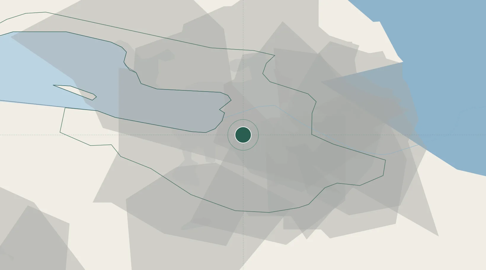
Saint Petersburg (ex Leningrad)
59.8603°, 30.2854°
5
Transport functions
7
Container terminals
Transport Functions
Port
Rail
Road
Airport
Postal
Hub Profile
Region
SPE
Logistics facilities
68
Container terminals
7
Location
Nearby Logistics Neighbours
Cities
- 1Shushary15 km
- 2Pushkin18 km
- 3Kolpino21 km
- 4Pargolovo23 km
- 5Vsevolozhsk25 km
Ports
- 1Lomonosov30 km
- 2Kronshtadt31 km
- 3Primorsk108 km
- 4Ust Luga112 km
- 5Gavan Vysotsk127 km
Airports
- 1Pulkovo Airport7 km
- 2Pushkin Airport20 km
- 3Levashovo Air Base26 km
- 4Pribylovo Naval Air Base108 km
- 5Krechevitsy Air Base151 km
Trade Zones
DatabookThe Record of Consolidated Knowledge
Russia beyond logistics?