Transport Functions
Rail
Road
Hub Profile
Place type
Populated place
Region
Calabarzon
Time zone
Asia/Manila
Elevation
72 m
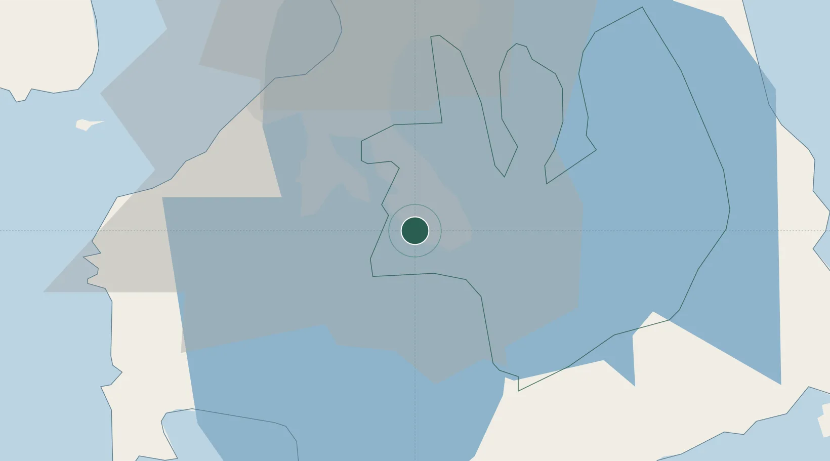
Location
Nearby Logistics Neighbours
Cities
- 1Camarines Norte/Jose Panganiban5 km
- 2Biñan13 km
- 3Tanauan18 km
- 4Cavite, Luzon34 km
- 5Parañaque36 km
Ports
- 1Manila43 km
- 2Batangas City52 km
- 3Nasugbu54 km
- 4Mariveles71 km
- 5Calapan89 km
Airports
Trade Zones
DatabookThe Record of Consolidated Knowledge
Philippines beyond logistics?