Transport Functions
Multimodal
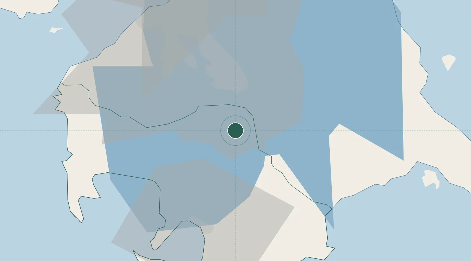
Hub Profile
Place type
District seat
Region
Calabarzon
Population
68,456
Time zone
Asia/Manila
Elevation
155 m
Location
Nearby Logistics Neighbours
Cities
- 1Camarines Norte/Jose Panganiban17 km
- 2Canlubang18 km
- 3Batangas/Luzon21 km
- 4Biñan31 km
- 5Candelaria33 km
Ports
- 1Batangas City37 km
- 2Nasugbu58 km
- 3Manila61 km
- 4Calapan72 km
- 5Mariveles83 km
Airports
- 1Ninoy Aquino International Airport51 km
- 2Danilo Atienza Air Base55 km
- 3Marinduque Airport107 km
- 4Mamburao Airport112 km
- 5Lubang Airport115 km
Trade Zones
DatabookThe Record of Consolidated Knowledge
Philippines beyond logistics?