Charter City · Philippines

The Forum at PonteFino Estates Under Development
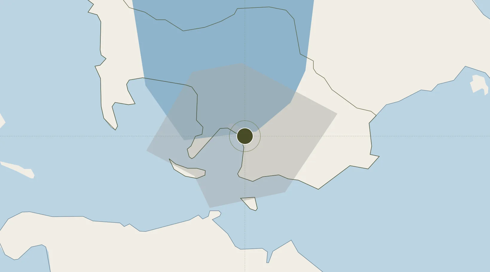
13.7566°, 121.0562°
4 ha
Zone area
1.0 km
Nearest port
78.1 km
Nearest airport

Gateway access

Nearest neighbours — logibook spatial index (haversine) over the source coordinates

Zone profile

Zone type
Charter City
Open Zone Map
Specialization
IT
Open Zone Map
Region
Batangas
Open Zone Map
Status
Under Development
Open Zone Map
Management
Private
Open Zone Map
Operator
Creative Hotel Concepts, Inc.
Open Zone Map
Legal framework
Special Economic Zone Act (Republic Act No. 7916) (as amended by Republic Act No. 8748)
Open Zone Map

Location

Location of ozm-3779
Natural Earth 10m (public domain) · Batangas · ozm-3779 · 13.76, 121.06GoogleOSMYandex

Nearby Logistics Neighbours

Ports
  1. 1Batangas City1 km
  2. 2Calapan40 km
  3. 3Nasugbu60 km
  4. 4Manila92 km
  5. 5Mariveles97 km
Nearest neighbours — logibook spatial index (haversine) over the source coordinates
Airports
  1. 1Mamburao Airport78 km
  2. 2Ninoy Aquino International Airport84 km
  3. 3Danilo Atienza Air Base84 km
  4. 4Marinduque Airport94 km
  5. 5Lubang Airport103 km
Nearest neighbours — logibook spatial index (haversine) over the source coordinates
Cities
  1. 1Bauan/Batangas8 km
  2. 2Batangas/Luzon16 km
  3. 3Puerto Galera32 km
  4. 4Tanauan36 km
  5. 5Candelaria43 km
Nearest neighbours — logibook spatial index (haversine) over the source coordinates
Trade Zones
  1. 1NUCITI Central Mall0 km
  2. 2AG&P Special Economic Zone II1 km
  3. 3Batangan Information Technology Center1 km
  4. 4BatStateU Knowledge, Innovation and Science Technology Park4 km
  5. 5Tabangao Special Economic Zone4 km
Nearest neighbours — logibook spatial index (haversine) over the source coordinates
DatabookThe Record of Consolidated Knowledge
Philippines beyond logistics?
Browse databook

All Sources

Trade ZonesOpen Zone Map
CC BY
Portsthe NGA World Port Index
Public domain (US gov)
AirportsOurAirports
Public domain
LocationsUN/LOCODE
UN/LOCODE — free
← Philippines trade zones