UN/LOCODE hub · Philippines
PHCDA
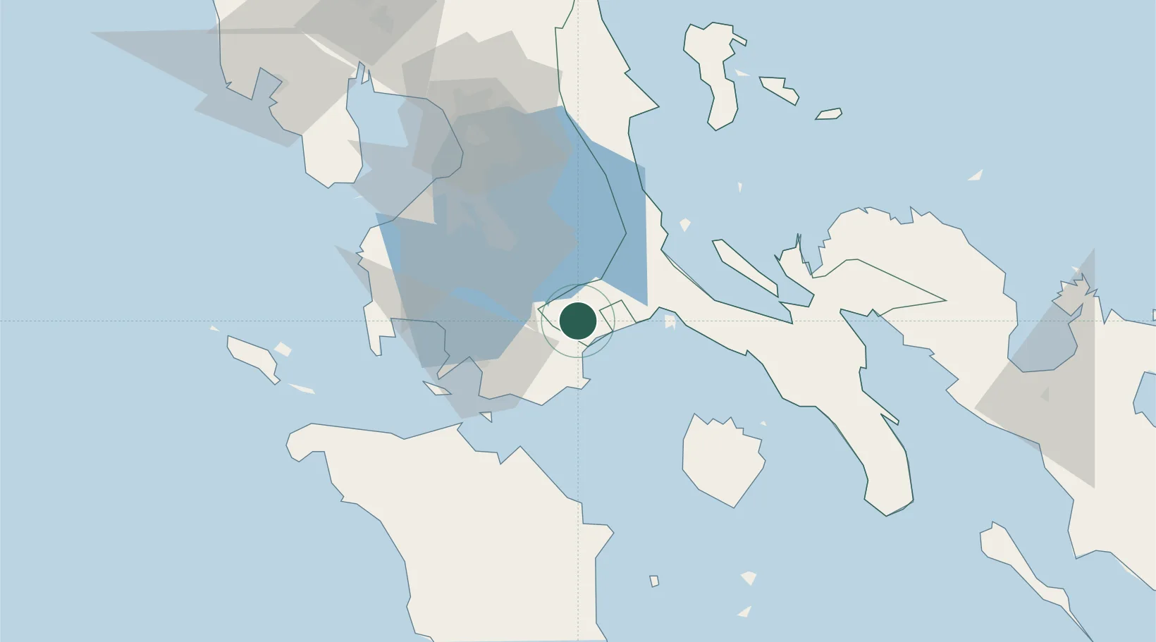
Candelaria
13.9167°, 121.4167°
137,933
Population
1
Transport functions
Transport Functions
Multimodal
Hub Profile
Place type
District seat
Region
Calabarzon
Population
137,933
Time zone
Asia/Manila
Elevation
72 m
Location
Nearby Logistics Neighbours
Cities
- 1Castañas15 km
- 2Pagbilao29 km
- 3Tanauan33 km
- 4Batangas/Luzon37 km
- 5Binan43 km
Ports
- 1Batangas City44 km
- 2Calapan61 km
- 3Hondagua88 km
- 4Nasugbu88 km
- 5Manila89 km
Airports
- 1Marinduque Airport76 km
- 2Ninoy Aquino International Airport79 km
- 3Danilo Atienza Air Base85 km
- 4Mamburao Airport118 km
- 5Lubang Airport142 km
DatabookThe Record of Consolidated Knowledge
Philippines beyond logistics?