UN/LOCODE hub · Philippines
PHPGA
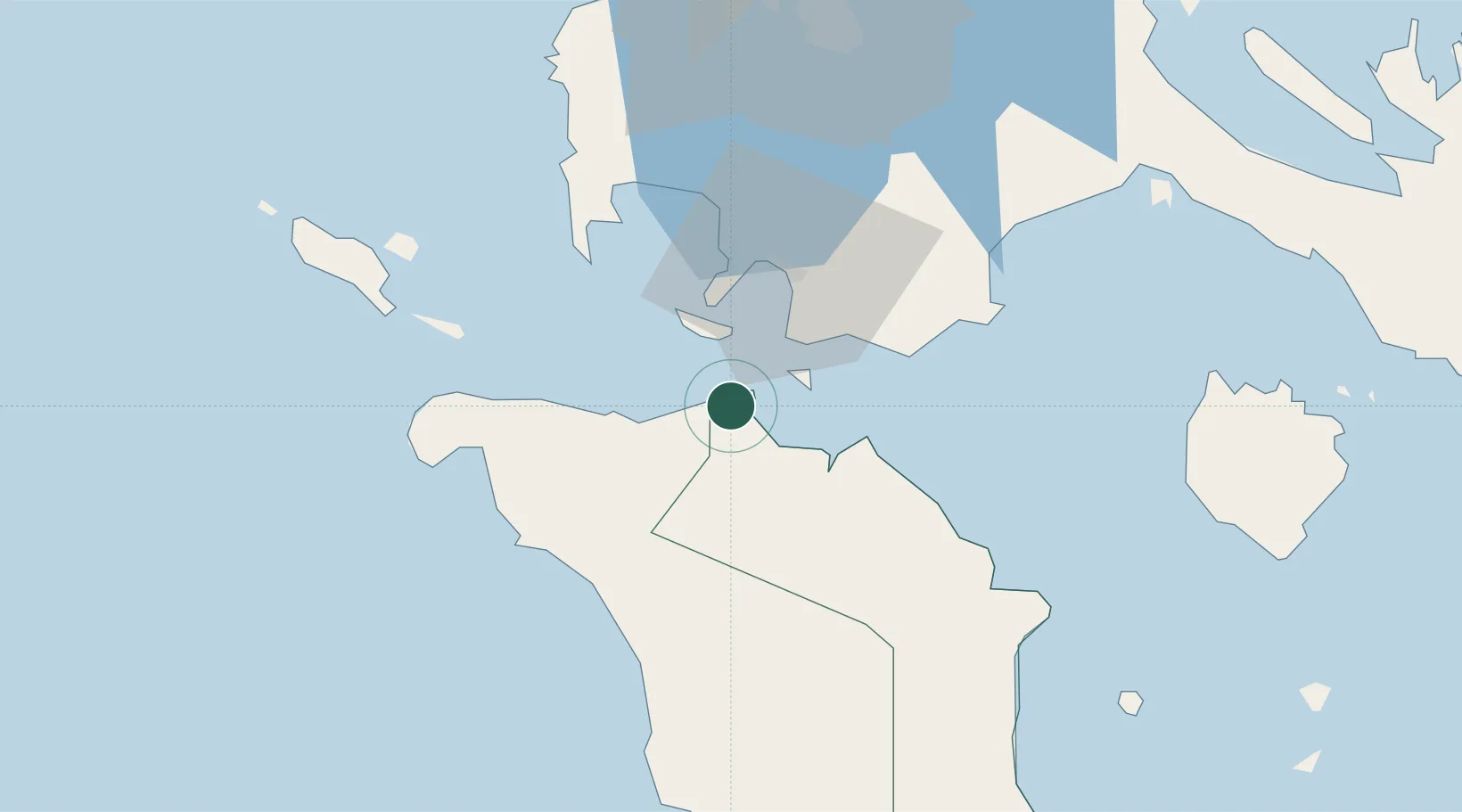
Puerto Galera
13.5000°, 120.9333°
3,274
Population
1
Transport functions
Transport Functions
Port
Hub Profile
Place type
Populated place
Region
Mimaropa
Population
3,274
Time zone
Asia/Manila
Elevation
12 m
Location
Nearby Logistics Neighbours
Cities
- 1Bauan/Batangas34 km
- 2Batangas/Luzon46 km
- 3Tanauan67 km
- 4Candelaria70 km
- 5Nasugbu, Luzon71 km
Ports
- 1Calapan29 km
- 2Batangas City31 km
- 3Nasugbu73 km
- 4Mariveles115 km
- 5Manila121 km
Airports
- 1Mamburao Airport48 km
- 2Marinduque Airport98 km
- 3Lubang Airport98 km
- 4Danilo Atienza Air Base111 km
- 5Ninoy Aquino International Airport113 km
Trade Zones
DatabookThe Record of Consolidated Knowledge
Philippines beyond logistics?