UN/LOCODE hub · Philippines
PHBAU

Bauan/Batangas

13.8000°, 121.0000°
1
Transport functions

Transport Functions

Port
UN/LOCODE

Hub Profile

Region
BTG
GeoNames

Location

Location of PHBAU
Natural Earth 10m (public domain) · BTG · PHBAU · 13.80, 121.00GoogleOSMYandex

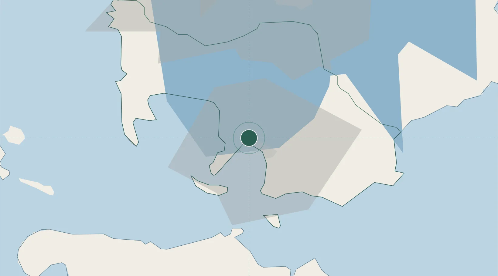
Nearby Logistics Neighbours

Cities
  1. 1Batangas/Luzon13 km
  2. 2Tanauan34 km
  3. 3Puerto Galera34 km
  4. 4Candelaria47 km
  5. 5Canlubang48 km
Nearest neighbours — logibook spatial index (haversine) over the source coordinates
Ports
  1. 1Batangas City8 km
  2. 2Calapan47 km
  3. 3Nasugbu52 km
  4. 4Manila87 km
  5. 5Mariveles90 km
Nearest neighbours — logibook spatial index (haversine) over the source coordinates
Airports
  1. 1Danilo Atienza Air Base78 km
  2. 2Mamburao Airport78 km
  3. 3Ninoy Aquino International Airport79 km
  4. 4Lubang Airport97 km
  5. 5Marinduque Airport102 km
Nearest neighbours — logibook spatial index (haversine) over the source coordinates
Trade Zones
  1. 1AG&P Special Economic Zone2 km
  2. 2Keppel Philippines Marine Special Economic Zone2 km
  3. 3CIIF Agro-Industrial Park - Legazpi2 km
  4. 4Cocochem Agro-Industrial Park2 km
  5. 5Xentromall Batangas7 km
Nearest neighbours — logibook spatial index (haversine) over the source coordinates
DatabookThe Record of Consolidated Knowledge
Philippines beyond logistics?
Browse databook

All Sources

LocationsUN/LOCODE
UN/LOCODE — free
Portsthe NGA World Port Index
Public domain (US gov)
AirportsOurAirports
Public domain
Trade Zonesthe World Bank SEZ database
CC BY 4.0
Trade ZonesOpen Zone Map
CC BY
← Philippines locations