Medium airport · Philippines

Mamburao AirportRPUM
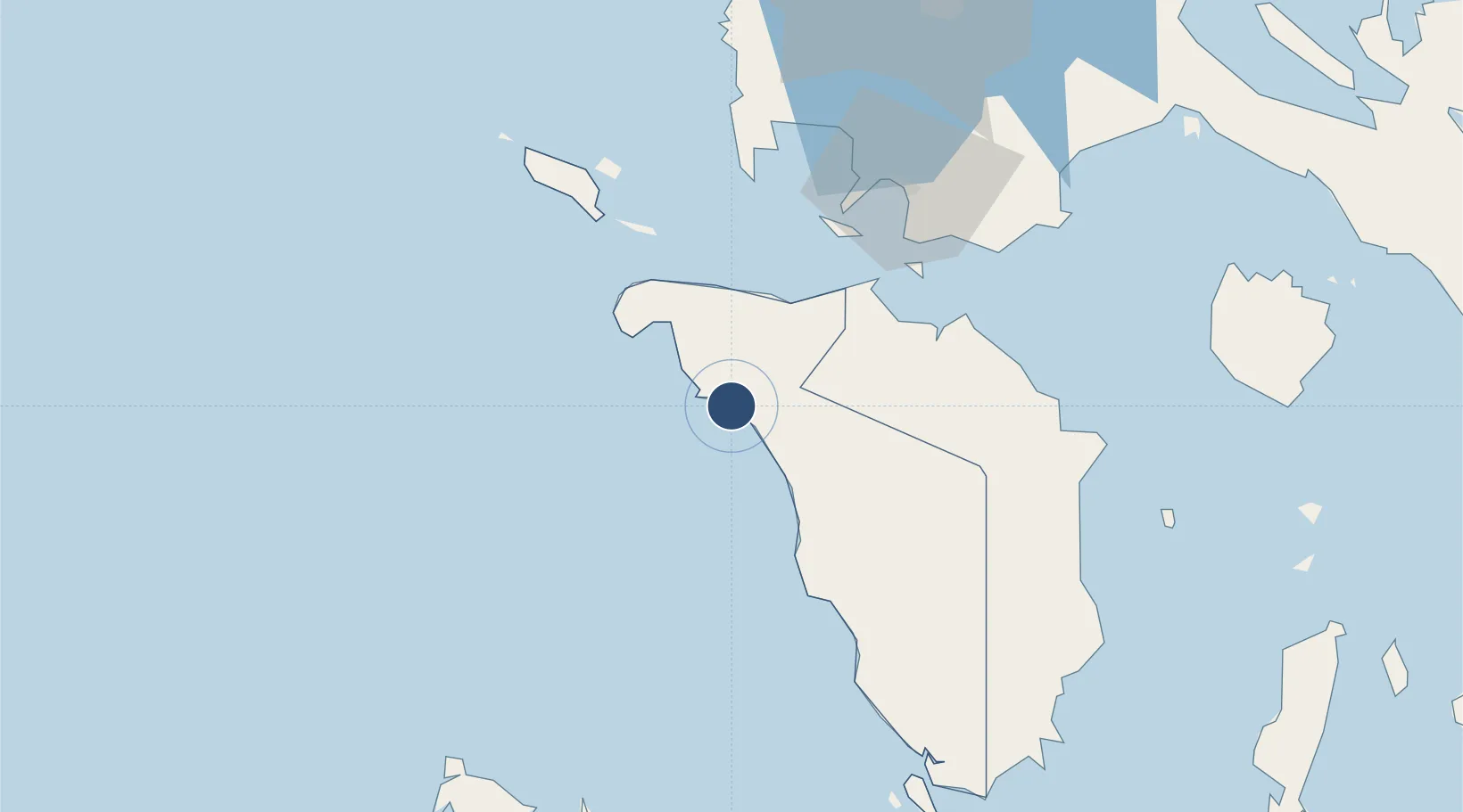
13.2080°, 120.6055°
4,265 ft
Longest runway
1
Runways
13 ft
Elevation

Runway & Layout

Mamburao Airport runway & taxiway layout
Runway & taxiway layout — OpenStreetMap (ODbL) / OurAirports

Radio Frequencies

FSS
122.1 MHz
RDO
OurAirports

Runways · 1

RunwayDimensions SurfaceTrue headingLit
16/34 4,265 × 98ft Asphalt 165°
OurAirports

Airport Specifications

IATA code
MBO
OurAirports
ICAO code
RPUM
OurAirports
Airport class
Medium airport
OurAirports
Scheduled service
No
OurAirports
Runway surface
Asphalt
OurAirports
Served city
Mamburao
OurAirports

Location

Location of RPUM
Natural Earth 10m (public domain) · Mindoro Occidental · RPUM · 13.21, 120.61GoogleOSMYandex

Nearby Logistics Neighbours

Airports
  1. 1Lubang Airport90 km
  2. 2San Jose Airport106 km
  3. 3Francisco B. Reyes (Busuanga) Airport133 km
  4. 4Marinduque Airport133 km
  5. 5Danilo Atienza Air Base147 km
Nearest neighbours — logibook spatial index (haversine) over the source coordinates
Cities
  1. 1Puerto Galera48 km
  2. 2Bauan/Batangas78 km
  3. 3Batangas/Luzon92 km
  4. 4Nasugbu, Luzon96 km
  5. 5San Jose Apt, Mindoro109 km
Nearest neighbours — logibook spatial index (haversine) over the source coordinates
Ports
  1. 1Calapan67 km
  2. 2Batangas City77 km
  3. 3Nasugbu97 km
  4. 4Mariveles137 km
  5. 5Manila158 km
Nearest neighbours — logibook spatial index (haversine) over the source coordinates
Trade Zones
  1. 1Tabangao Special Economic Zone76 km
  2. 2AG&P Special Economic Zone77 km
  3. 3AG&P Special Economic Zone II77 km
  4. 4Keppel Philippines Marine Special Economic Zone77 km
  5. 5CIIF Agro-Industrial Park - Legazpi77 km
Nearest neighbours — logibook spatial index (haversine) over the source coordinates
DatabookThe Record of Consolidated Knowledge
Philippines beyond logistics?
Browse databook

All Sources

AirportsOurAirports
Public domain
Portsthe NGA World Port Index
Public domain (US gov)
LocationsUN/LOCODE
UN/LOCODE — free
Trade Zonesthe World Bank SEZ database
CC BY 4.0
Trade ZonesOpen Zone Map
CC BY
InfrastructureOpenStreetMap
ODbL 1.0
← Philippines airports