Specialized Zone · Philippines
NUCITI Central Mall Active
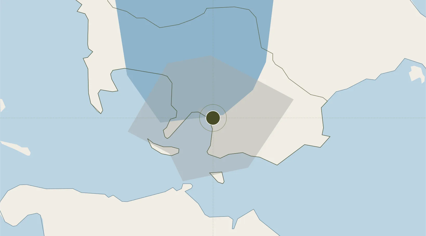
13.7603°, 121.0550°
1 ha
Zone area
1.3 km
Nearest port
78.3 km
Nearest airport
Gateway access
Zone profile
Zone type
Specialized Zone
Specialization
IT
Region
Batangas
Status
Active
Management
Private
Operator
Nuciti Central Properties & Development Corporation
Legal framework
Special Economic Zone Act (Republic Act No. 7916) (as amended by Republic Act No. 8748)
Location
Nearby Logistics Neighbours
Ports
- 1Batangas City1 km
- 2Calapan41 km
- 3Nasugbu59 km
- 4Manila92 km
- 5Mariveles97 km
Airports
- 1Mamburao Airport78 km
- 2Ninoy Aquino International Airport83 km
- 3Danilo Atienza Air Base83 km
- 4Marinduque Airport94 km
- 5Lubang Airport103 km
Cities
- 1Bauan/Batangas7 km
- 2Batangas/Luzon15 km
- 3Puerto Galera32 km
- 4Tanauan36 km
- 5Candelaria43 km
DatabookThe Record of Consolidated Knowledge
Philippines beyond logistics?