Diversified Zone · Philippines

Tabangao Special Economic Zone Active
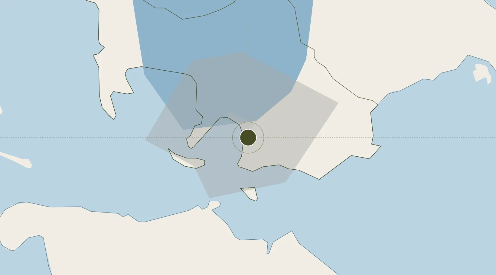
13.7207°, 121.0660°
86 ha
Zone area
3.7 km
Nearest port
75.7 km
Nearest airport

Gateway access

Nearest neighbours — logibook spatial index (haversine) over the source coordinates

Zone profile

Zone type
Diversified Zone
Open Zone Map
Region
Batangas
Open Zone Map
Status
Active
Open Zone Map
Management
Private
Open Zone Map
Operator
Shellgas Philippines, Inc.
Open Zone Map
Legal framework
Special Economic Zone Act (Republic Act No. 7916) (as amended by Republic Act No. 8748)
Open Zone Map

Location

Location of ozm-3169
Natural Earth 10m (public domain) · Batangas · ozm-3169 · 13.72, 121.07GoogleOSMYandex

Nearby Logistics Neighbours

Ports
  1. 1Batangas City4 km
  2. 2Calapan36 km
  3. 3Nasugbu63 km
  4. 4Manila97 km
  5. 5Mariveles101 km
Nearest neighbours — logibook spatial index (haversine) over the source coordinates
Airports
  1. 1Mamburao Airport76 km
  2. 2Ninoy Aquino International Airport88 km
  3. 3Danilo Atienza Air Base88 km
  4. 4Marinduque Airport91 km
  5. 5Lubang Airport105 km
Nearest neighbours — logibook spatial index (haversine) over the source coordinates
Cities
  1. 1Bauan/Batangas11 km
  2. 2Batangas/Luzon19 km
  3. 3Puerto Galera28 km
  4. 4Tanauan40 km
  5. 5Candelaria44 km
Nearest neighbours — logibook spatial index (haversine) over the source coordinates
Trade Zones
  1. 1The Forum at PonteFino Estates4 km
  2. 2AG&P Special Economic Zone II4 km
  3. 3NUCITI Central Mall5 km
  4. 4Batangan Information Technology Center5 km
  5. 5BatStateU Knowledge, Innovation and Science Technology Park7 km
Nearest neighbours — logibook spatial index (haversine) over the source coordinates
DatabookThe Record of Consolidated Knowledge
Philippines beyond logistics?
Browse databook

All Sources

Trade ZonesOpen Zone Map
CC BY
Portsthe NGA World Port Index
Public domain (US gov)
AirportsOurAirports
Public domain
LocationsUN/LOCODE
UN/LOCODE — free
← Philippines trade zones