Diversified Zone · Philippines

AG&P Special Economic Zone II Under Development
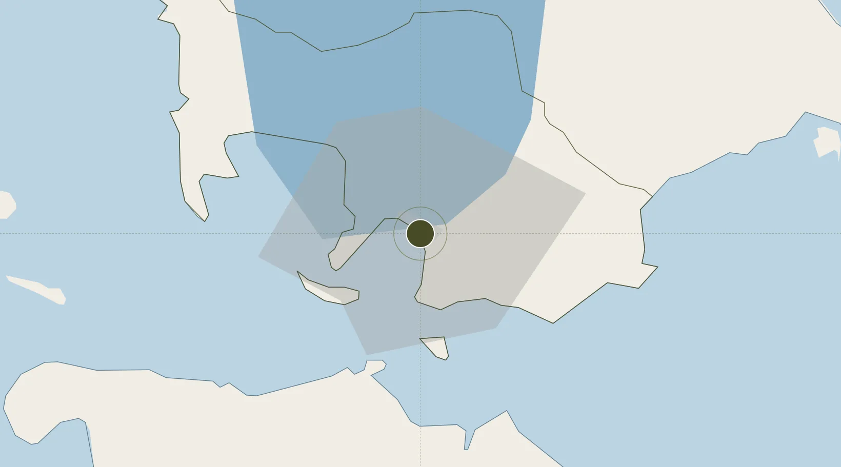
13.7538°, 121.0442°
46 ha
Zone area
0.8 km
Nearest port
77.0 km
Nearest airport

Gateway access

Nearest neighbours — logibook spatial index (haversine) over the source coordinates

Zone profile

Zone type
Diversified Zone
Open Zone Map
Region
Batangas
Open Zone Map
Status
Under Development
Open Zone Map
Management
Private
Open Zone Map
Operator
Atlantic Gulf & Pacific Co. of Manila, Inc.
Open Zone Map
Legal framework
Special Economic Zone Act (Republic Act No. 7916) (as amended by Republic Act No. 8748)
Open Zone Map

Location

Location of ozm-3141
Natural Earth 10m (public domain) · Batangas · ozm-3141 · 13.75, 121.04GoogleOSMYandex

Nearby Logistics Neighbours

Ports
  1. 1Batangas City1 km
  2. 2Calapan40 km
  3. 3Nasugbu59 km
  4. 4Manila93 km
  5. 5Mariveles97 km
Nearest neighbours — logibook spatial index (haversine) over the source coordinates
Airports
  1. 1Mamburao Airport77 km
  2. 2Danilo Atienza Air Base84 km
  3. 3Ninoy Aquino International Airport84 km
  4. 4Marinduque Airport95 km
  5. 5Lubang Airport102 km
Nearest neighbours — logibook spatial index (haversine) over the source coordinates
Cities
  1. 1Bauan/Batangas7 km
  2. 2Batangas/Luzon16 km
  3. 3Puerto Galera31 km
  4. 4Tanauan37 km
  5. 5Candelaria44 km
Nearest neighbours — logibook spatial index (haversine) over the source coordinates
Trade Zones
  1. 1The Forum at PonteFino Estates1 km
  2. 2NUCITI Central Mall1 km
  3. 3Batangan Information Technology Center3 km
  4. 4Tabangao Special Economic Zone4 km
  5. 5BatStateU Knowledge, Innovation and Science Technology Park5 km
Nearest neighbours — logibook spatial index (haversine) over the source coordinates
DatabookThe Record of Consolidated Knowledge
Philippines beyond logistics?
Browse databook

All Sources

Trade ZonesOpen Zone Map
CC BY
Portsthe NGA World Port Index
Public domain (US gov)
AirportsOurAirports
Public domain
LocationsUN/LOCODE
UN/LOCODE — free
← Philippines trade zones