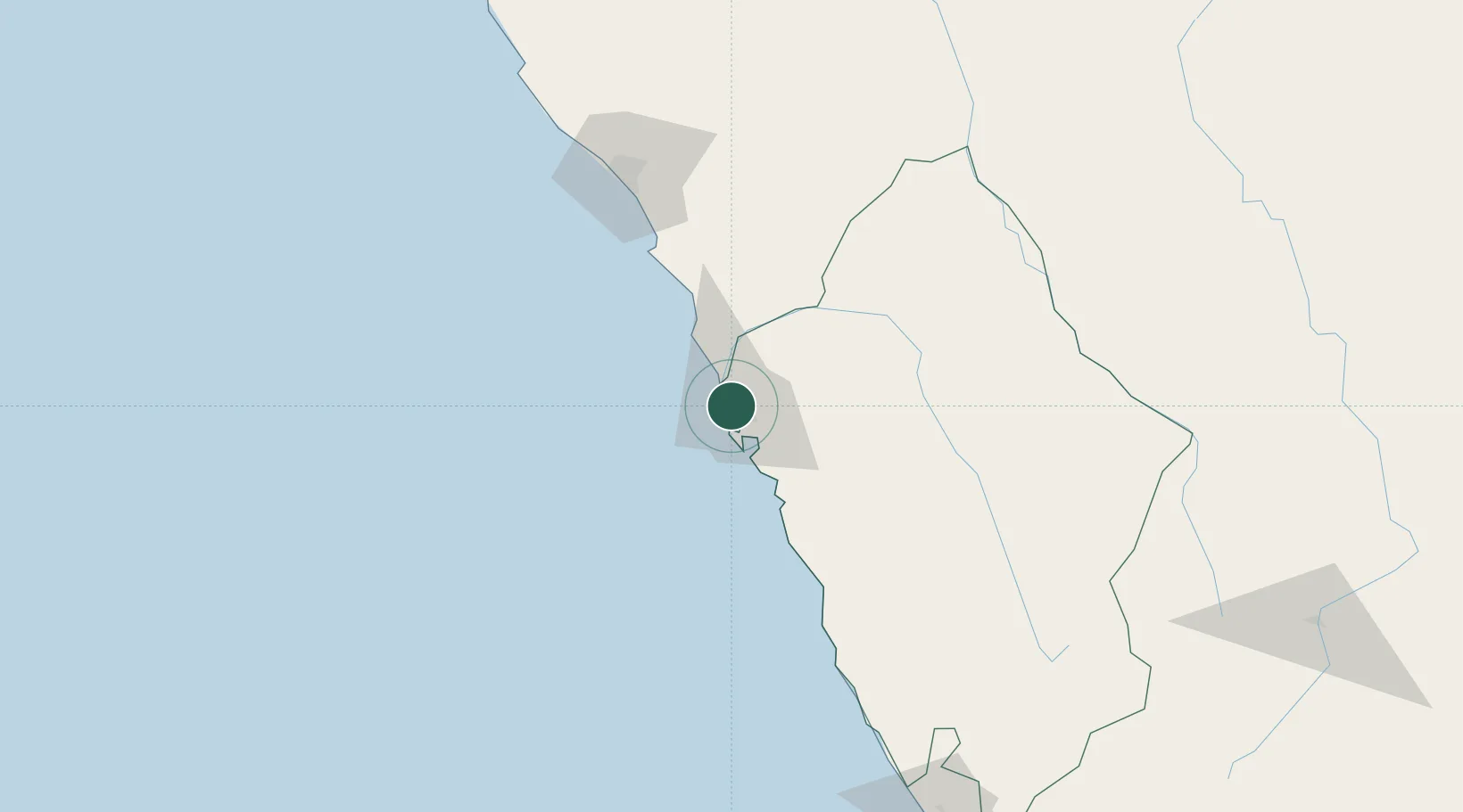
UN/LOCODE hub · Peru
PECHM

Chimbote

-9.0618°, -78.6016°
316,966
Population
2
Transport functions

Transport Functions

Port
Airport
Chimbote is also a profiled seaport →
UN/LOCODE

Hub Profile

Place type
District seat
GeoNames
Region
Ancash
GeoNames
Population
316,966
GeoNames
Time zone
America/Lima
GeoNames
Elevation
1 m
GeoNames
Logistics facilities
1
UN/LOCODE

Location

Location of PECHM
Natural Earth 10m (public domain) · Ancash · PECHM · -9.06, -78.60GoogleOSMYandex

Nearby Logistics Neighbours

Cities
  1. 1Trujillo51 km
  2. 2Virú74 km
  3. 3Salaverry102 km
  4. 4Punta Lobitos123 km
  5. 5Chepen225 km
Nearest neighbours — logibook spatial index (haversine) over the source coordinates
Ports
  1. 1Salaverry101 km
  2. 2Punta Lobitos (Bahia De Huarmey)125 km
  3. 3Puerto Supe215 km
  4. 4Puerto De Huacho253 km
  5. 5Pimentel288 km
Nearest neighbours — logibook spatial index (haversine) over the source coordinates
Trade Zones
  1. 1Zona Especial de Desarrollo Paita (Special Development Zone of Paita)520 km
  2. 2Zona Franca del Oro657 km
  3. 3Posorja ZofraPort SA Free Zone731 km
  4. 4DP World Posorja731 km
  5. 5Contecon Guayaquil Free Zone768 km
Nearest neighbours — logibook spatial index (haversine) over the source coordinates
DatabookThe Record of Consolidated Knowledge
Peru beyond logistics?
Browse databook

All Sources

LocationsUN/LOCODE
UN/LOCODE — free
LocationsGeoNames
CC BY 4.0
Portsthe NGA World Port Index
Public domain (US gov)
AirportsOurAirports
Public domain
Trade Zonesthe World Bank SEZ database
CC BY 4.0
Trade ZonesOpen Zone Map
CC BY
← Peru locations