Medium airport · Peru

FAP Lieutenant Jaime Andres de Montreuil Morales AirportSPEO
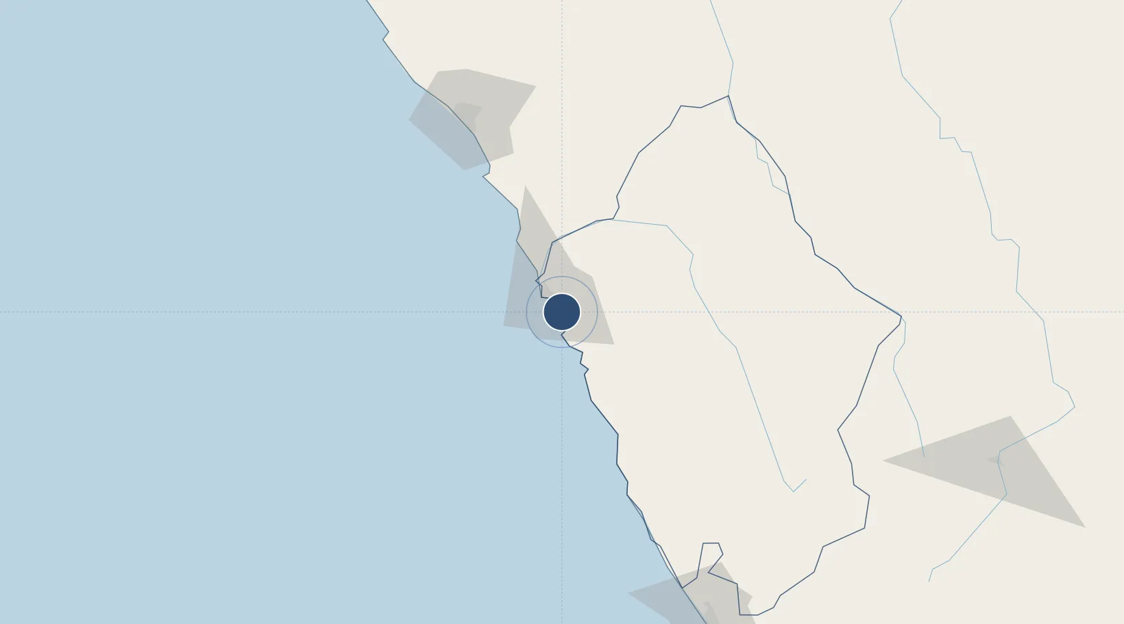
-9.1496°, -78.5238°
5,905 ft
Longest runway
1
Runways
69 ft
Elevation

Runway & Layout

FAP Lieutenant Jaime Andres de Montreuil Morales Airport runway & taxiway layout
Runway & taxiway layout — OpenStreetMap (ODbL) / OurAirports

Radio Frequencies

RDO
118.1 MHz
CHIMBOTE RDO
OurAirports

Navaids

BTE VOR Chimbote 112.50 MHz
OurAirports

Runways · 1

RunwayDimensions SurfaceTrue headingLit
01/19 5,905 × 98ft Asphalt 007°
OurAirports

Airport Specifications

IATA code
CHM
OurAirports
ICAO code
SPEO
OurAirports
Airport class
Medium airport
OurAirports
Scheduled service
Yes
OurAirports
Runway surface
Asphalt
OurAirports
Served city
Chimbote
OurAirports

Location

Location of SPEO
Natural Earth 10m (public domain) · Áncash · SPEO · -9.15, -78.52GoogleOSMYandex

Nearby Logistics Neighbours

Cities
  1. 1Chimbote13 km
  2. 2Trujillo63 km
  3. 3Virú85 km
  4. 4Punta Lobitos110 km
  5. 5Salaverry115 km
Nearest neighbours — logibook spatial index (haversine) over the source coordinates
Ports
  1. 1Puerto De Chimbote13 km
  2. 2Punta Lobitos (Bahia De Huarmey)113 km
  3. 3Salaverry114 km
  4. 4Puerto Supe202 km
  5. 5Puerto De Huacho240 km
Nearest neighbours — logibook spatial index (haversine) over the source coordinates
Trade Zones
  1. 1Zona Especial de Desarrollo Paita (Special Development Zone of Paita)533 km
  2. 2Zona Franca del Oro669 km
  3. 3Posorja ZofraPort SA Free Zone742 km
  4. 4DP World Posorja743 km
  5. 5Contecon Guayaquil Free Zone779 km
Nearest neighbours — logibook spatial index (haversine) over the source coordinates
DatabookThe Record of Consolidated Knowledge
Peru beyond logistics?
Browse databook

All Sources

AirportsOurAirports
Public domain
Portsthe NGA World Port Index
Public domain (US gov)
LocationsUN/LOCODE
UN/LOCODE — free
Trade Zonesthe World Bank SEZ database
CC BY 4.0
Trade ZonesOpen Zone Map
CC BY
InfrastructureOpenStreetMap
ODbL 1.0
← Peru airports