Medium airport · Peru

Comandante FAP German Arias Graziani AirportSPHZ
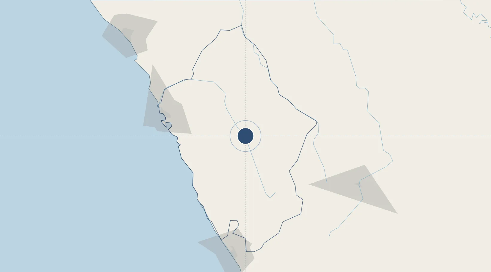
-9.3474°, -77.5984°
10,007 ft
Longest runway
1
Runways
9,097 ft
Elevation

Runway & Layout

Comandante FAP German Arias Graziani Airport runway & taxiway layout
Runway & taxiway layout — OpenStreetMap (ODbL) / OurAirports

Radio Frequencies

RDO
126.9 MHz
ANTA RDO
OurAirports

Navaids

ATA NDB Anta 415 kHz
OurAirports

Runways · 1

RunwayDimensions SurfaceTrue headingLit
16/34 10,007 × 98ft Asphalt 162°
OurAirports

Airport Specifications

IATA code
ATA
OurAirports
ICAO code
SPHZ
OurAirports
Airport class
Medium airport
OurAirports
Scheduled service
No
OurAirports
Runway surface
Asphalt
OurAirports
Served city
Anta
OurAirports

Location

Location of SPHZ
Natural Earth 10m (public domain) · Áncash · SPHZ · -9.35, -77.60GoogleOSMYandex

Nearby Logistics Neighbours

Cities
  1. 1Punta Lobitos104 km
  2. 2Chimbote115 km
  3. 3Trujillo144 km
  4. 4Virú164 km
  5. 5Salaverry197 km
Nearest neighbours — logibook spatial index (haversine) over the source coordinates
Ports
  1. 1Punta Lobitos (Bahia De Huarmey)104 km
  2. 2Puerto De Chimbote116 km
  3. 3Puerto Supe162 km
  4. 4Salaverry196 km
  5. 5Puerto De Huacho197 km
Nearest neighbours — logibook spatial index (haversine) over the source coordinates
Trade Zones
  1. 1Zona Especial de Desarrollo Paita (Special Development Zone of Paita)610 km
  2. 2Zona Franca del Oro720 km
  3. 3Posorja ZofraPort SA Free Zone795 km
  4. 4DP World Posorja796 km
  5. 5Contecon Guayaquil Free Zone826 km
Nearest neighbours — logibook spatial index (haversine) over the source coordinates
DatabookThe Record of Consolidated Knowledge
Peru beyond logistics?
Browse databook

All Sources

AirportsOurAirports
Public domain
Portsthe NGA World Port Index
Public domain (US gov)
LocationsUN/LOCODE
UN/LOCODE — free
Trade Zonesthe World Bank SEZ database
CC BY 4.0
Trade ZonesOpen Zone Map
CC BY
InfrastructureOpenStreetMap
ODbL 1.0
← Peru airports