Transport Functions
Port
Hub Profile
Region
ANC
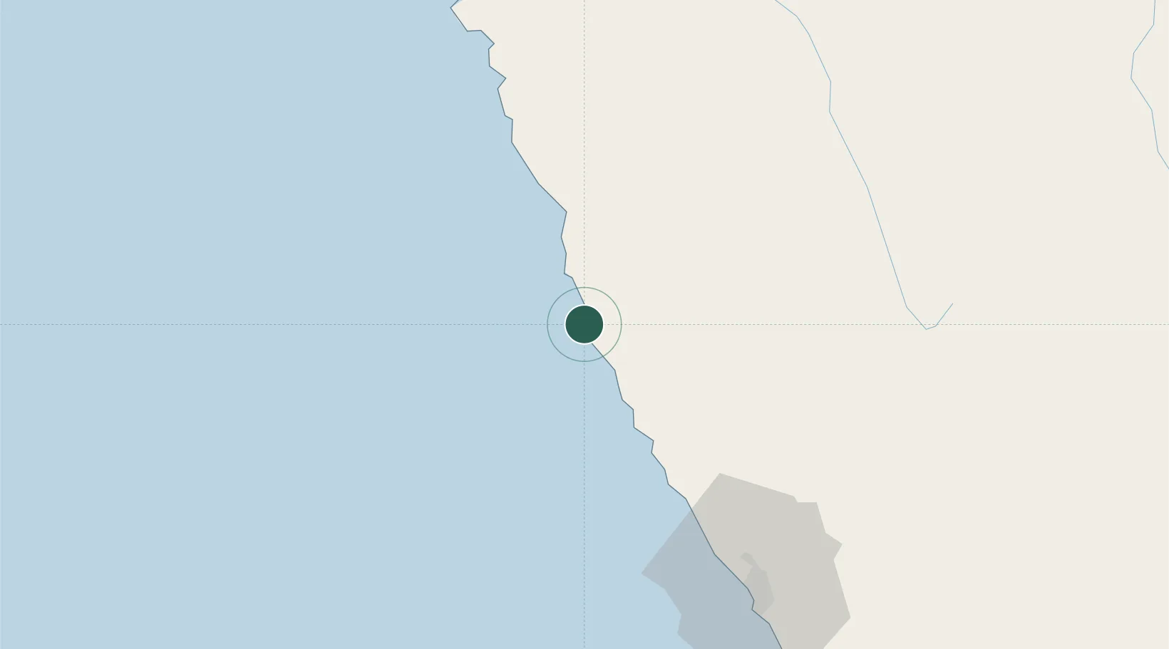
Location
Nearby Logistics Neighbours
Ports
- 1Puerto Supe93 km
- 2Puerto De Chimbote121 km
- 3Puerto De Huacho131 km
- 4Chancay196 km
- 5Bahia De Ancon215 km
Airports
Trade Zones
DatabookThe Record of Consolidated Knowledge
Peru beyond logistics?