Transport Functions
Port
Road
Airport
Postal
Hub Profile
Place type
National capital
Region
Lima Province
Population
7,737,002
Time zone
America/Lima
Elevation
152 m
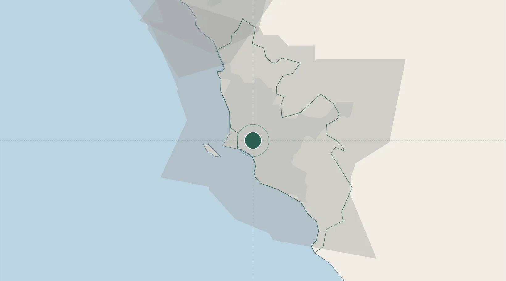
Location
Nearby Logistics Neighbours
Cities
- 1San Isidro7 km
- 2Callao7 km
- 3Monterrico Chico11 km
- 4Ancón34 km
- 5San Bartolo47 km
Ports
- 1Puerto Del Callao11 km
- 2Conchan Oil Terminal14 km
- 3La Pampilla Oil Terminal16 km
- 4Bahia De Ancon36 km
- 5Chancay56 km
Airports
Trade Zones
- 1Zona Especial de Desarrollo Matarani (Special Development Zone of Matarani)767 km
- 2Zona Especial de Desarrollo Paita (Special Development Zone of Paita)892 km
- 3Cobija Commercial and Industrial Free Zone905 km
- 4Zona Franca de Tacna (Free Trade Zone of Tacna (ZOFRATACNA)986 km
- 5Chacalluta Arica Industrial Park1006 km
DatabookThe Record of Consolidated Knowledge
Peru beyond logistics?