Transport Functions
Port
Hub Profile
Place type
Populated place
Region
Lima region
Time zone
America/Lima
Elevation
17 m
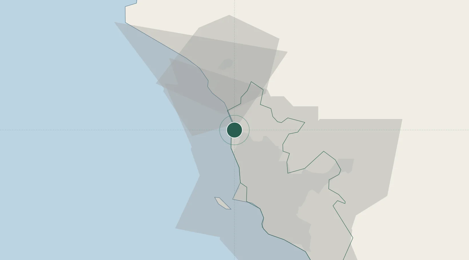
Location
Nearby Logistics Neighbours
Cities
- 1Chancay23 km
- 2Callao28 km
- 3Huaral32 km
- 4Lima34 km
- 5San Isidro41 km
Ports
- 1La Pampilla Oil Terminal19 km
- 2Chancay22 km
- 3Puerto Del Callao32 km
- 4Conchan Oil Terminal48 km
- 5Puerto De Huacho87 km
Airports
Trade Zones
- 1Zona Especial de Desarrollo Matarani (Special Development Zone of Matarani)799 km
- 2Zona Especial de Desarrollo Paita (Special Development Zone of Paita)859 km
- 3Cobija Commercial and Industrial Free Zone915 km
- 4Zona Franca del Oro989 km
- 5Zona Franca de Tacna (Free Trade Zone of Tacna (ZOFRATACNA)1017 km
DatabookThe Record of Consolidated Knowledge
Peru beyond logistics?