UN/LOCODE hub · Peru
PECLL
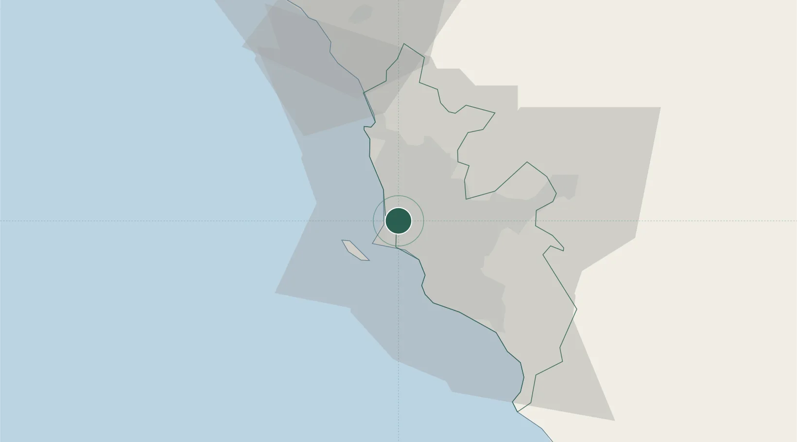
Callao
-12.0131°, -77.1071°
1,300,000
Population
2
Transport functions
2
Container terminals
Transport Functions
Port
Road
Hub Profile
Place type
Regional capital
Region
Callao
Population
1,300,000
Time zone
America/Lima
Elevation
5 m
Logistics facilities
64
Container terminals
2
Location
Nearby Logistics Neighbours
Cities
- 1Lima7 km
- 2San Isidro13 km
- 3Monterrico Chico18 km
- 4Ancón28 km
- 5Chancay50 km
Ports
- 1La Pampilla Oil Terminal9 km
- 2Conchan Oil Terminal21 km
- 3Bahia De Ancon30 km
- 4Chancay50 km
- 5Puerto De Huacho114 km
Airports
Trade Zones
- 1Zona Especial de Desarrollo Matarani (Special Development Zone of Matarani)774 km
- 2Zona Especial de Desarrollo Paita (Special Development Zone of Paita)886 km
- 3Cobija Commercial and Industrial Free Zone911 km
- 4Zona Franca de Tacna (Free Trade Zone of Tacna (ZOFRATACNA)994 km
- 5Chacalluta Arica Industrial Park1013 km
DatabookThe Record of Consolidated Knowledge
Peru beyond logistics?