Transport Functions
Multimodal
Hub Profile
Place type
Populated place
Region
Lima region
Population
68,309
Time zone
America/Lima
Elevation
109 m
Location
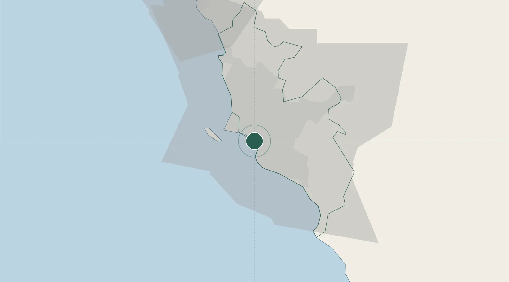
Nearby Logistics Neighbours
Cities
- 1Lima7 km
- 2Monterrico Chico9 km
- 3Callao13 km
- 4Ancón41 km
- 5San Bartolo42 km
Ports
- 1Conchan Oil Terminal8 km
- 2Puerto Del Callao13 km
- 3La Pampilla Oil Terminal22 km
- 4Bahia De Ancon43 km
- 5Chancay63 km
Airports
Trade Zones
- 1Zona Especial de Desarrollo Matarani (Special Development Zone of Matarani)762 km
- 2Zona Especial de Desarrollo Paita (Special Development Zone of Paita)899 km
- 3Cobija Commercial and Industrial Free Zone906 km
- 4Zona Franca de Tacna (Free Trade Zone of Tacna (ZOFRATACNA)981 km
- 5Chacalluta Arica Industrial Park1001 km
DatabookThe Record of Consolidated Knowledge
Peru beyond logistics?