Medium airport · New Zealand
RNZAF Base Auckland-WhenuapaiNZWP
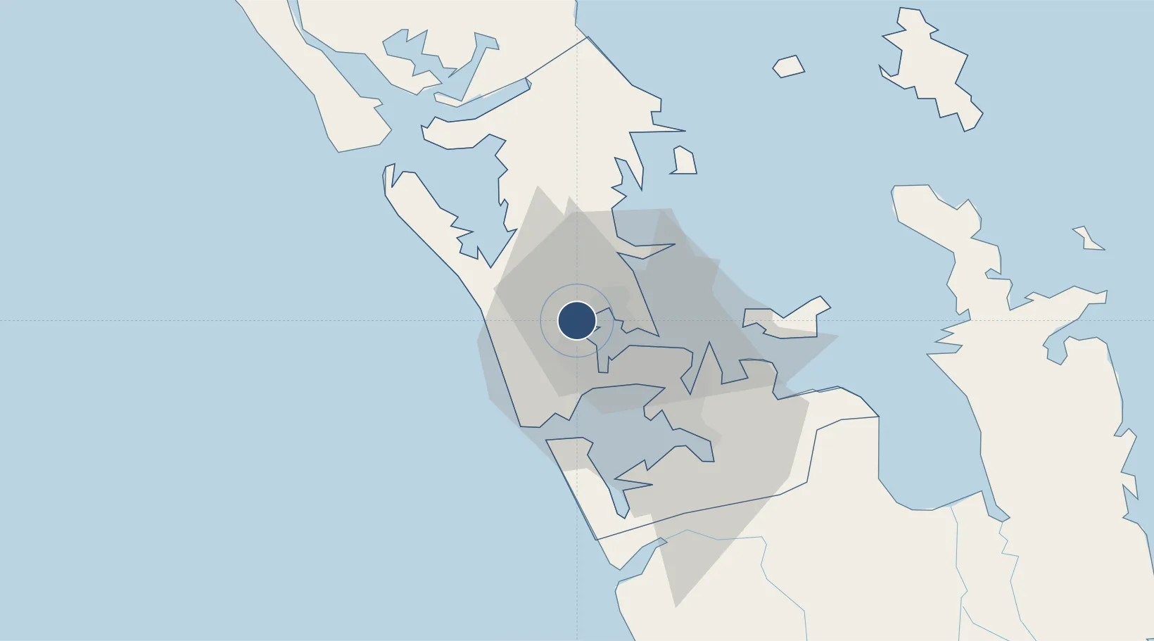
-36.7878°, 174.6300°
6,665 ft
Longest runway
3
Runways
103 ft
Elevation
Runway & Layout

Radio Frequencies
ATIS
128.3 MHz
TWR
134.5 MHz
APP
124.3 MHz
AUCKLAND APP
CTAF
134.5 MHz
Navaids
WP VORTAC Whenuapai 108.80 MHz
Runways · 3
| Runway | Dimensions | Surface | True heading | Lit |
|---|---|---|---|---|
| 03/21 | 6,665 × 148ft | Asphalt | 053° | ✓ |
| 08/26 | 5,187 × 148ft | Concrete | 098° | ✓ |
| 08L/26R | 2,789 × 148ft | Grass | 100° | — |
Airport Specifications
ICAO code
NZWP
Airport class
Medium airport
Scheduled service
No
Runway surface
Asphalt
Location
Nearby Logistics Neighbours
Airports
- 1Auckland International Airport29 km
- 2Ardmore Airport41 km
- 3Great Barrier Aerodrome97 km
- 4Okiwi Station Airport100 km
- 5Whangarei Airport116 km
Cities
- 1Kauri Point6 km
- 2Kumeu6 km
- 3Chelsea8 km
- 4Henderson9 km
- 5Herne Bay9 km
Ports
- 1Auckland14 km
- 2Manukau Harbor21 km
- 3Whangarei111 km
- 4Tauranga165 km
- 5Opua170 km
Trade Zones
- 1Hicks Bay Area Special Economic Zone323 km
- 2Rotuma-Kadavu Tax-Free Region2106 km
- 3Kalabu Tax Free Zone2113 km
- 4Nausori-Ba Tax-Free Region2121 km
- 5Lautoka Special Zone2149 km
DatabookThe Record of Consolidated Knowledge
New Zealand beyond logistics?