UN/LOCODE hub · New Zealand
NZAKL
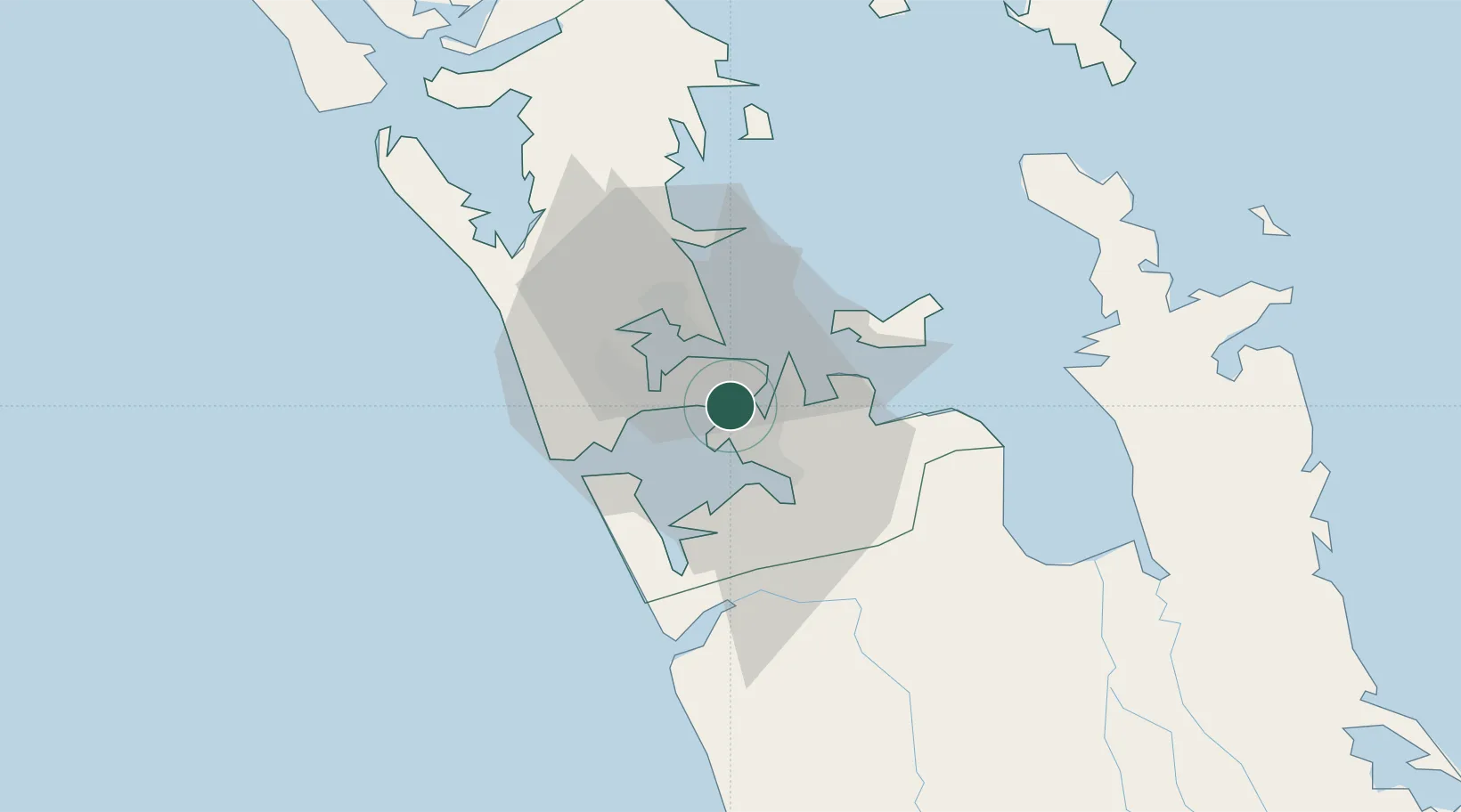
Auckland
-36.9349°, 174.8285°
1,530,500
Population
5
Transport functions
3
Container terminals
Transport Functions
Port
Rail
Road
Airport
Postal
Hub Profile
Place type
Regional capital
Region
Auckland
Population
1,530,500
Time zone
Pacific/Auckland
Elevation
43 m
Logistics facilities
72
Container terminals
3
Location
Nearby Logistics Neighbours
Cities
- 1Metroport/Auckland2 km
- 2Tamaki9 km
- 3Devonport12 km
- 4Herne Bay15 km
- 5Onehunga (Manukau Harbour)16 km
Ports
- 1Manukau Harbor4 km
- 2Whangarei131 km
- 3Tauranga142 km
- 4Opua191 km
- 5Whangaroa230 km
Airports
- 1Auckland International Airport9 km
- 2Ardmore Airport17 km
- 3RNZAF Base Auckland-Whenuapai24 km
- 4Great Barrier Aerodrome96 km
- 5Okiwi Station Airport102 km
Trade Zones
- 1Hicks Bay Area Special Economic Zone302 km
- 2Rotuma-Kadavu Tax-Free Region2119 km
- 3Kalabu Tax Free Zone2126 km
- 4Nausori-Ba Tax-Free Region2133 km
- 5Lautoka Special Zone2163 km
DatabookThe Record of Consolidated Knowledge
New Zealand beyond logistics?