UN/LOCODE hub · New Zealand
NZTAK
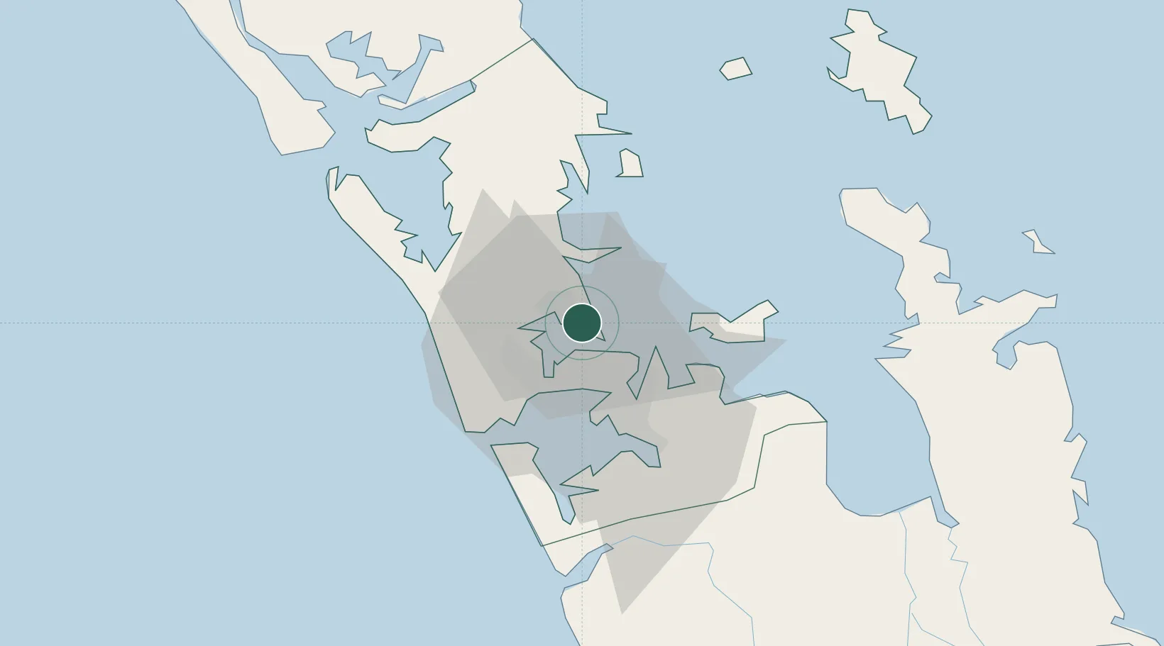
Takapuna
-36.7833°, 174.7667°
12,470
Population
3
Transport functions
Transport Functions
Port
Road
Multimodal
Hub Profile
Place type
Populated place
Region
Auckland
Population
12,470
Time zone
Pacific/Auckland
Elevation
22 m
Location
Nearby Logistics Neighbours
Cities
- 1Northcote4 km
- 2Devonport6 km
- 3Chelsea6 km
- 4Herne Bay7 km
- 5Kauri Point8 km
Ports
- 1Auckland7 km
- 2Manukau Harbor17 km
- 3Whangarei113 km
- 4Tauranga156 km
- 5Opua173 km
Airports
- 1RNZAF Base Auckland-Whenuapai12 km
- 2Auckland International Airport26 km
- 3Ardmore Airport33 km
- 4Great Barrier Aerodrome87 km
- 5Okiwi Station Airport92 km
Trade Zones
- 1Hicks Bay Area Special Economic Zone312 km
- 2Rotuma-Kadavu Tax-Free Region2103 km
- 3Kalabu Tax Free Zone2110 km
- 4Nausori-Ba Tax-Free Region2118 km
- 5Lautoka Special Zone2147 km
DatabookThe Record of Consolidated Knowledge
New Zealand beyond logistics?