Transport Functions
Port
Hub Profile
Place type
Populated place
Region
Auckland
Time zone
Pacific/Auckland
Elevation
25 m
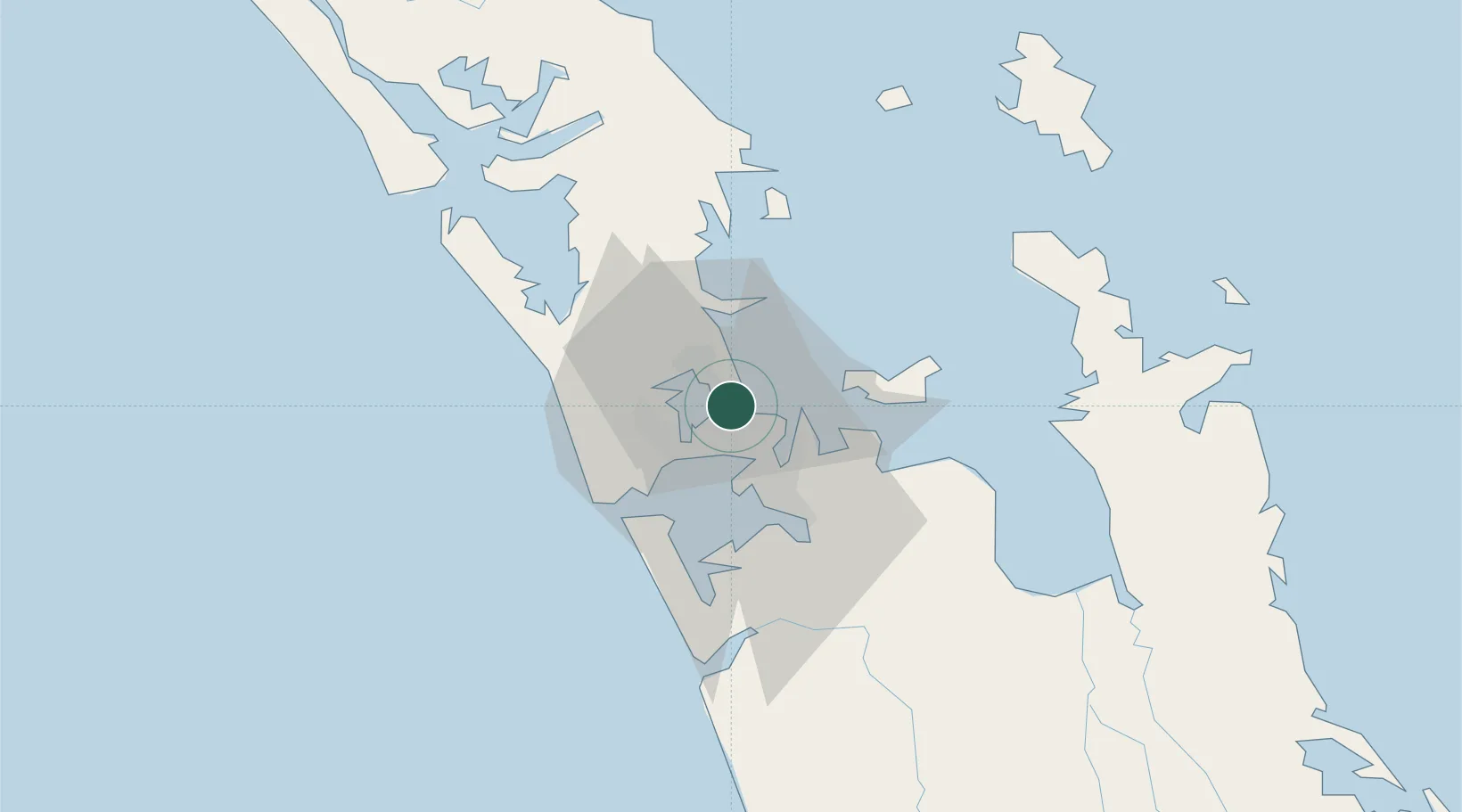
Location
Nearby Logistics Neighbours
Cities
- 1Takapuna6 km
- 2Northcote6 km
- 3Herne Bay6 km
- 4Chelsea6 km
- 5Kauri Point9 km
Ports
- 1Auckland2 km
- 2Manukau Harbor11 km
- 3Whangarei119 km
- 4Tauranga151 km
- 5Opua179 km
Airports
- 1RNZAF Base Auckland-Whenuapai15 km
- 2Auckland International Airport20 km
- 3Ardmore Airport28 km
- 4Great Barrier Aerodrome90 km
- 5Okiwi Station Airport95 km
Trade Zones
- 1Hicks Bay Area Special Economic Zone309 km
- 2Rotuma-Kadavu Tax-Free Region2109 km
- 3Kalabu Tax Free Zone2115 km
- 4Nausori-Ba Tax-Free Region2123 km
- 5Lautoka Special Zone2152 km
DatabookThe Record of Consolidated Knowledge
New Zealand beyond logistics?