UN/LOCODE hub · New Zealand
NZNTC
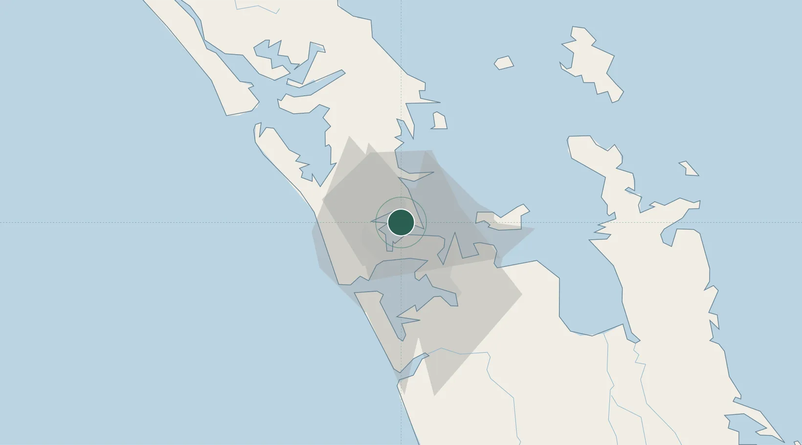
Northcote
-36.8000°, 174.7333°
2,622
Population
1
Transport functions
Transport Functions
Multimodal
Hub Profile
Place type
Urban district
Region
Canterbury
Population
2,622
Time zone
Pacific/Auckland
Elevation
16 m
Location
Nearby Logistics Neighbours
Cities
- 1Chelsea2 km
- 2Takapuna4 km
- 3Herne Bay4 km
- 4Kauri Point5 km
- 5Devonport6 km
Ports
- 1Auckland6 km
- 2Manukau Harbor16 km
- 3Whangarei114 km
- 4Tauranga157 km
- 5Opua174 km
Airports
Trade Zones
- 1Hicks Bay Area Special Economic Zone314 km
- 2Rotuma-Kadavu Tax-Free Region2106 km
- 3Kalabu Tax Free Zone2113 km
- 4Nausori-Ba Tax-Free Region2120 km
- 5Lautoka Special Zone2149 km
DatabookThe Record of Consolidated Knowledge
New Zealand beyond logistics?