Transport Functions
Port
Road
Hub Profile
Place type
Populated place
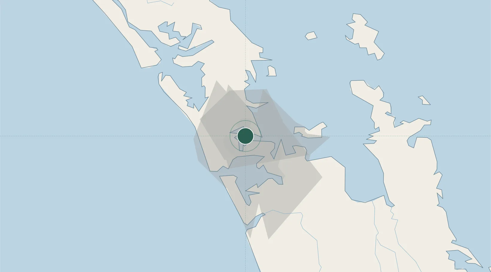
Region
Auckland
Time zone
Pacific/Auckland
Elevation
67 m
Location
Nearby Logistics Neighbours
Cities
- 1Herne Bay2 km
- 2Northcote2 km
- 3Kauri Point3 km
- 4Takapuna6 km
- 5Devonport6 km
Ports
- 1Auckland6 km
- 2Manukau Harbor14 km
- 3Whangarei116 km
- 4Tauranga157 km
- 5Opua175 km
Airports
Trade Zones
- 1Hicks Bay Area Special Economic Zone315 km
- 2Rotuma-Kadavu Tax-Free Region2108 km
- 3Kalabu Tax Free Zone2115 km
- 4Nausori-Ba Tax-Free Region2122 km
- 5Lautoka Special Zone2151 km
DatabookThe Record of Consolidated Knowledge
New Zealand beyond logistics?