Seaport · Norway

SunndalsoraNOSUN

62.6833°, 8.5500°
23.2 m
Channel depth
10.8
Port liner connectivity
Sunndalsora is also a UN/LOCODE logistics hub →

Channel & Berth Profile

SEA LEVEL (CD)CHANNEL BEDAnchorage · 9.4 mCargo pier · 9.4 mChannel · 23.2 m
NGA World Port Index

Pilotage, Tugs & Services

Pilotage availableYES
Pilotage advisableYES
Tug assistanceNO
Salvage tugsNO
Shore powerNO
Potable waterYES
Diesel bunkersNO
MedicalYES
Garbage disposalYES
NGA World Port Index

Facilities & Capabilities

ContainerYES
Ro-RoYES
Liquid bulkNO
Dry bulkYES
Oil terminalNO
Break bulkYES
Dry dock
RepairsNO
Bunkering
Rail link
Dangerous cargo
ISPS security
NGA World Port Index

Harbour Specifications

Harbour size
Very Small
NGA World Port Index
Harbour type
River (Basins)
NGA World Port Index
Shelter
Good
NGA World Port Index
Water body
Norwegian Sea; North Atlantic Ocean
NGA World Port Index
Overhead limit
Yes
NGA World Port Index

Liner Connectivity

10.8
PLSCI

Port Liner Shipping Connectivity Index for Sunndalsora, as published by UNCTAD for the latest available quarter. Higher values indicate stronger scheduled liner-shipping integration.

Shown relative to the highest per-port PLSCI in the dataset (1,657.9).
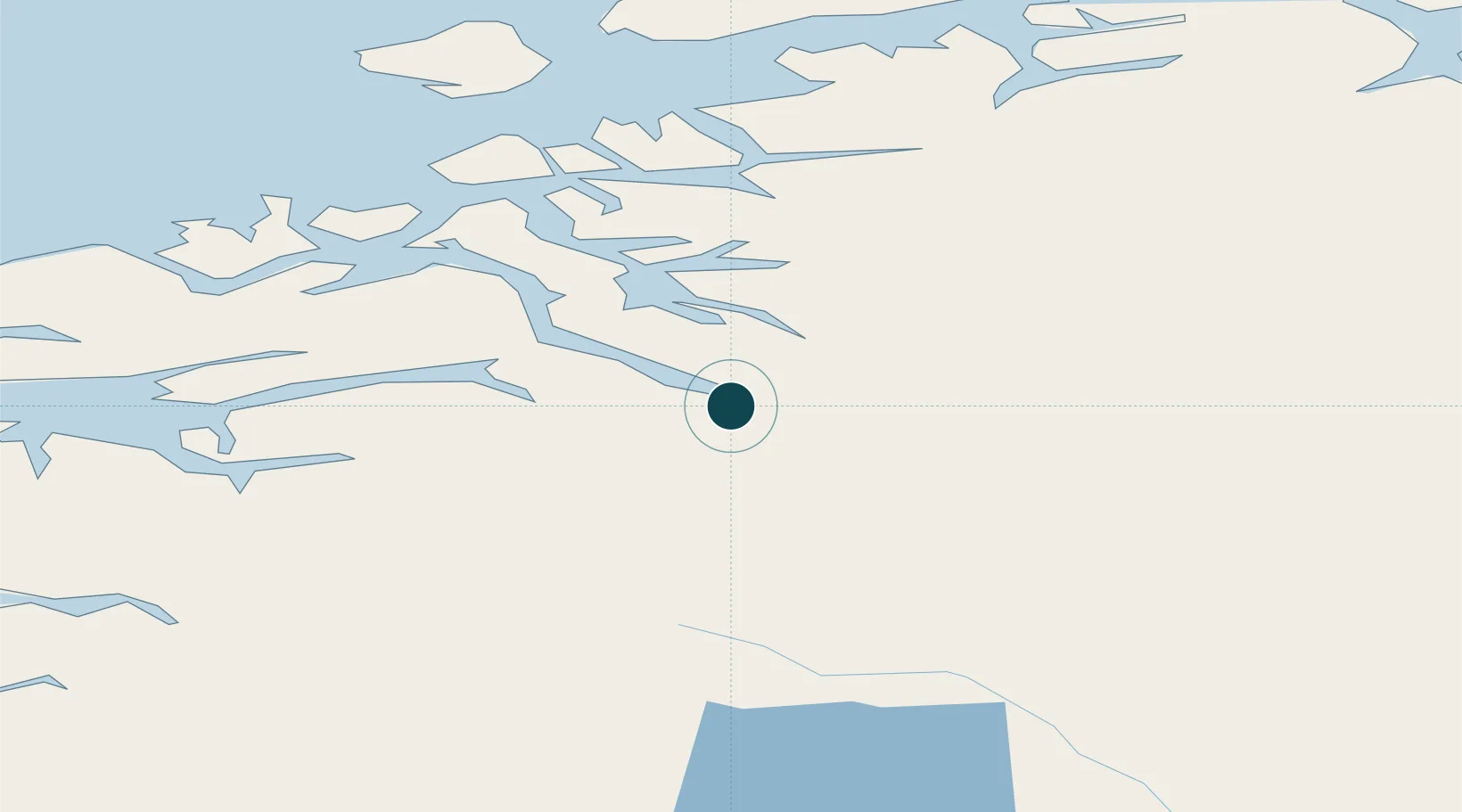
UNCTAD · Port Liner Shipping Connectivity Index

Location

Location of NOSUN
Natural Earth 10m (public domain) · Møre og Romsdal · NOSUN · 62.68, 8.55GoogleOSMYandex

Nearby Logistics Neighbours

Ports
  1. 1Andalsnes46 km
  2. 2Kristiansund63 km
  3. 3Molde71 km
  4. 4Haroysund84 km
  5. 5Alesund124 km
Nearest neighbours — logibook spatial index (haversine) over the source coordinates
Cities
  1. 1Todal17 km
  2. 2Raudsand28 km
  3. 3Vistdal32 km
  4. 4Surnadal34 km
  5. 5Torjulvågen37 km
Nearest neighbours — logibook spatial index (haversine) over the source coordinates
Airports
  1. 1Kristiansund Airport, Kvernberget60 km
  2. 2Molde Airport, Årø66 km
  3. 3Ørland Airport125 km
  4. 4Ålesund Airport126 km
  5. 5Ørsta-Volda Airport, Hovden139 km
Nearest neighbours — logibook spatial index (haversine) over the source coordinates
Trade Zones
  1. 1Gothenburg Boundless Customs Warehouse582 km
  2. 2Jönköping Free Zone626 km
  3. 3Stockholm Free Zone634 km
  4. 4Freeport of Copenhagen- Nordhavn808 km
  5. 5MTS Malmö Transport and Spedition828 km
Nearest neighbours — logibook spatial index (haversine) over the source coordinates
DatabookThe Record of Consolidated Knowledge
Norway beyond logistics?
Browse databook

All Sources

Portsthe NGA World Port Index
Public domain (US gov)
Logistics performanceUNCTAD
CC BY 3.0 IGO
AirportsOurAirports
Public domain
LocationsUN/LOCODE
UN/LOCODE — free
Trade Zonesthe World Bank SEZ database
CC BY 4.0
Trade ZonesOpen Zone Map
CC BY
← Norway ports