UN/LOCODE hub · Norway
NOTJU

Torjulvågen

62.9833°, 8.2500°
1
Transport functions

Transport Functions

Port
UN/LOCODE

Hub Profile

Region
15
GeoNames

Location

Location of NOTJU
Natural Earth 10m (public domain) · 15 · NOTJU · 62.98, 8.25GoogleOSMYandex

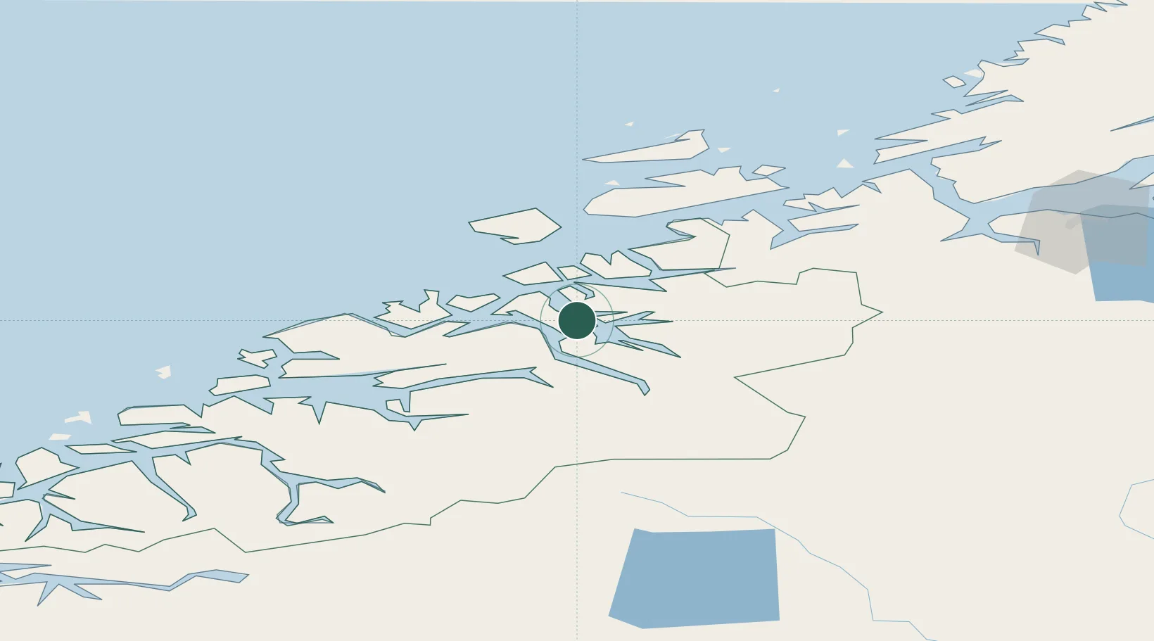
Nearby Logistics Neighbours

Cities
  1. 1Halsa8 km
  2. 2Raudsand18 km
  3. 3Surnadal19 km
  4. 4Gjemnes26 km
  5. 5Kristiansund29 km
Nearest neighbours — logibook spatial index (haversine) over the source coordinates
Ports
  1. 1Kristiansund30 km
  2. 2Sunndalsora37 km
  3. 3Andalsnes55 km
  4. 4Molde62 km
  5. 5Haroysund66 km
Nearest neighbours — logibook spatial index (haversine) over the source coordinates
Airports
  1. 1Kristiansund Airport, Kvernberget26 km
  2. 2Molde Airport, Årø57 km
  3. 3Ørland Airport104 km
  4. 4Ålesund Airport119 km
  5. 5Ørsta-Volda Airport, Hovden143 km
Nearest neighbours — logibook spatial index (haversine) over the source coordinates
Trade Zones
  1. 1Gothenburg Boundless Customs Warehouse619 km
  2. 2Jönköping Free Zone662 km
  3. 3Stockholm Free Zone665 km
  4. 4Freeport of Copenhagen- Nordhavn845 km
  5. 5MTS Malmö Transport and Spedition865 km
Nearest neighbours — logibook spatial index (haversine) over the source coordinates
DatabookThe Record of Consolidated Knowledge
Norway beyond logistics?
Browse databook

All Sources

LocationsUN/LOCODE
UN/LOCODE — free
Portsthe NGA World Port Index
Public domain (US gov)
AirportsOurAirports
Public domain
Trade Zonesthe World Bank SEZ database
CC BY 4.0
Trade ZonesOpen Zone Map
CC BY
← Norway locations