Channel & Berth Profile
Pilotage, Tugs & Services
Potable waterYES
MedicalYES
Facilities & Capabilities
Container—
Ro-Ro—
Liquid bulk—
Dry bulk—
Oil terminal—
Break bulk—
Dry dock—
RepairsNO
BunkeringYES
Rail link—
Dangerous cargo—
ISPS security—
Harbour Specifications
Harbour size
Small
Harbour type
Coastal (Natural)
Shelter
Good
Water body
Norwegian Sea; North Atlantic Ocean
Overhead limit
Yes
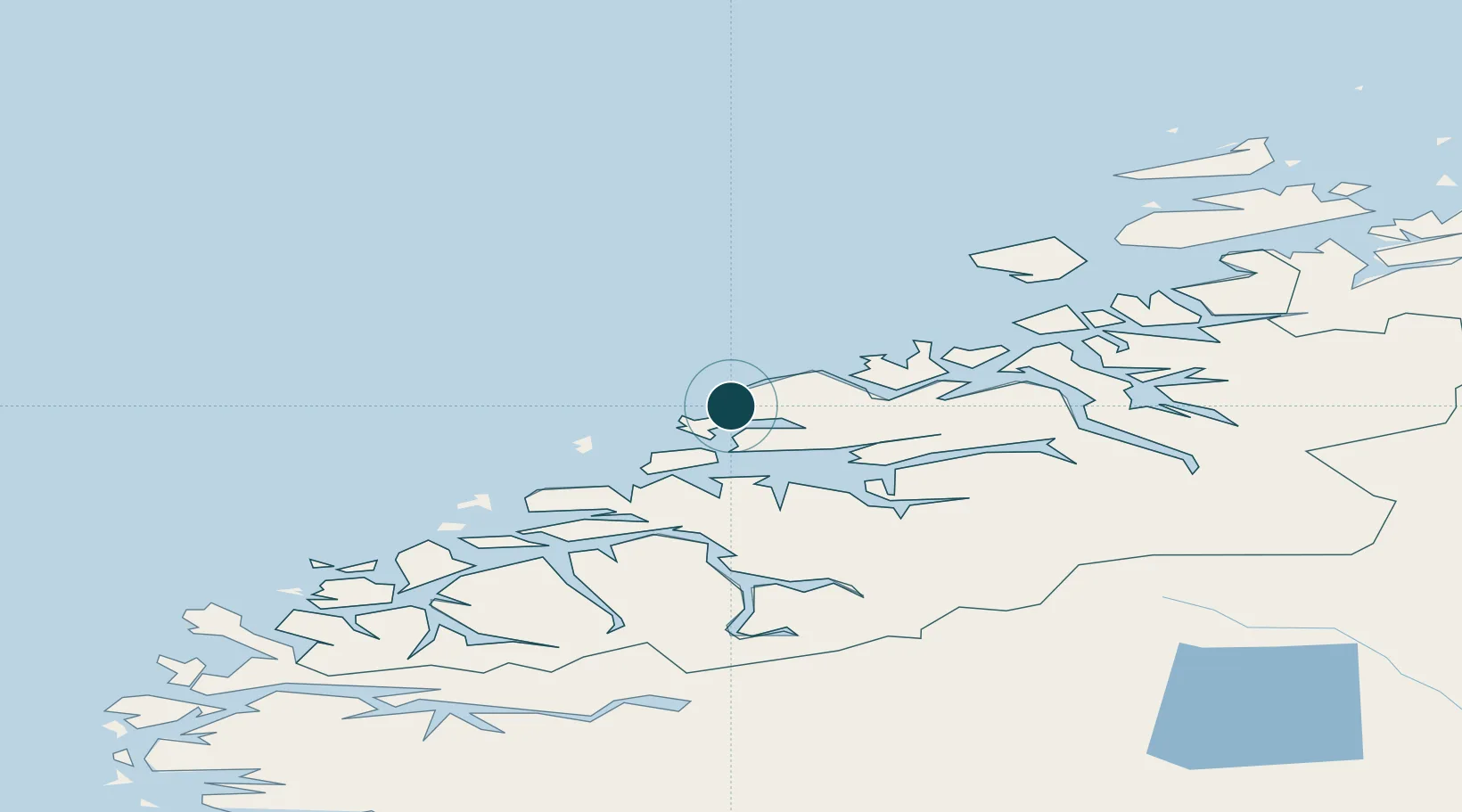
Location
Nearby Logistics Neighbours
Ports
- 1Molde21 km
- 2Kristiansund47 km
- 3Andalsnes51 km
- 4Alesund62 km
- 5Hareid75 km
Cities
- 1Nyhamna5 km
- 2Aukra9 km
- 3Elnesvågen10 km
- 4Molde21 km
- 5Ramsvika23 km
Airports
- 1Molde Airport, Årø23 km
- 2Kristiansund Airport, Kvernberget50 km
- 3Ålesund Airport57 km
- 4Ørsta-Volda Airport, Hovden91 km
- 5Sandane Airport, Anda126 km
Trade Zones
- 1Gothenburg Boundless Customs Warehouse635 km
- 2Jönköping Free Zone691 km
- 3Freeport of Copenhagen- Nordhavn859 km
- 4MTS Malmö Transport and Spedition881 km
- 5Freeport of Kiel969 km
DatabookThe Record of Consolidated Knowledge
Norway beyond logistics?