UN/LOCODE hub · Norway
NOVDL

Vistdal

62.7167°, 7.9333°
1
Transport functions

Transport Functions

Port
UN/LOCODE

Hub Profile

Region
15
GeoNames

Location

Location of NOVDL
Natural Earth 10m (public domain) · 15 · NOVDL · 62.72, 7.93GoogleOSMYandex

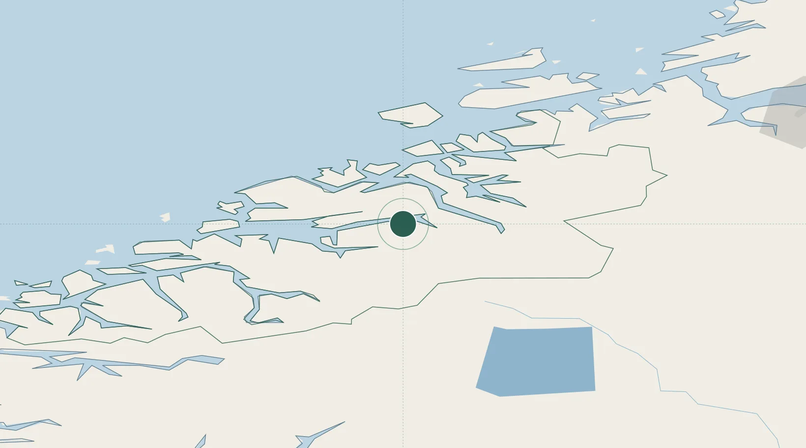
Nearby Logistics Neighbours

Cities
  1. 1Raudsand16 km
  2. 2Åndalsnes21 km
  3. 3Hjelset24 km
  4. 4Gjemnes30 km
  5. 5Eide32 km
Nearest neighbours — logibook spatial index (haversine) over the source coordinates
Ports
  1. 1Andalsnes21 km
  2. 2Sunndalsora32 km
  3. 3Molde39 km
  4. 4Kristiansund45 km
  5. 5Haroysund53 km
Nearest neighbours — logibook spatial index (haversine) over the source coordinates
Airports
  1. 1Molde Airport, Årø34 km
  2. 2Kristiansund Airport, Kvernberget44 km
  3. 3Ålesund Airport95 km
  4. 4Ørsta-Volda Airport, Hovden113 km
  5. 5Sandane Airport, Anda137 km
Nearest neighbours — logibook spatial index (haversine) over the source coordinates
Trade Zones
  1. 1Gothenburg Boundless Customs Warehouse597 km
  2. 2Jönköping Free Zone646 km
  3. 3Freeport of Copenhagen- Nordhavn822 km
  4. 4MTS Malmö Transport and Spedition843 km
  5. 5Freeport of Kiel941 km
Nearest neighbours — logibook spatial index (haversine) over the source coordinates
DatabookThe Record of Consolidated Knowledge
Norway beyond logistics?
Browse databook

All Sources

LocationsUN/LOCODE
UN/LOCODE — free
Portsthe NGA World Port Index
Public domain (US gov)
AirportsOurAirports
Public domain
Trade Zonesthe World Bank SEZ database
CC BY 4.0
Trade ZonesOpen Zone Map
CC BY
← Norway locations