Transport Functions
Port
Road
Hub Profile
Place type
Provincial seat
Region
Møre og Romsdal
Time zone
Europe/Oslo
Elevation
124 m
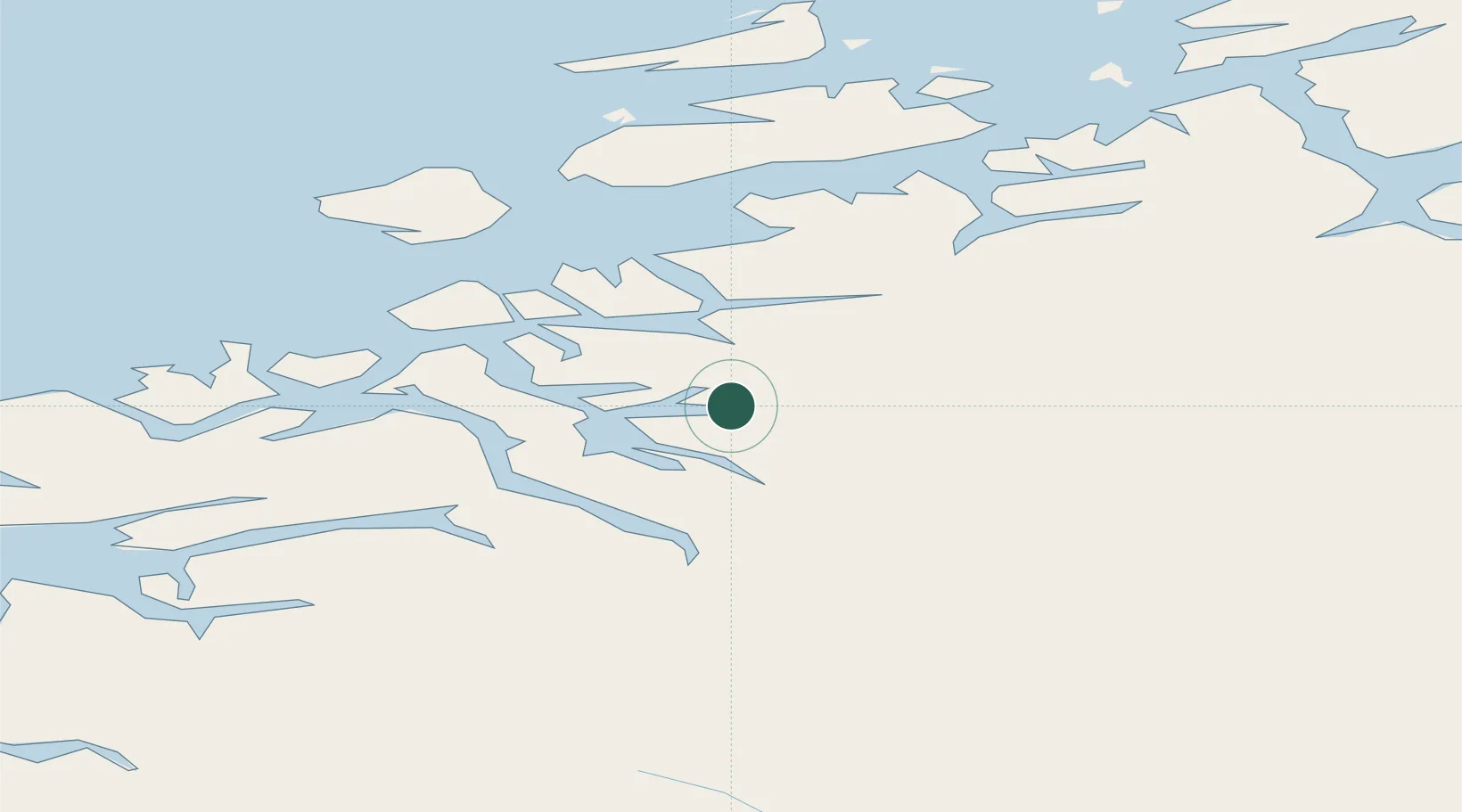
Location
Nearby Logistics Neighbours
Cities
- 1Todal19 km
- 2Torjulvågen19 km
- 3Halsa22 km
- 4Vinjeøra30 km
- 5Raudsand31 km
Ports
- 1Sunndalsora34 km
- 2Kristiansund47 km
- 3Andalsnes67 km
- 4Molde79 km
- 5Haroysund85 km
Airports
- 1Kristiansund Airport, Kvernberget43 km
- 2Molde Airport, Årø74 km
- 3Ørland Airport93 km
- 4Trondheim Airport, Værnes126 km
- 5Ålesund Airport137 km
Trade Zones
DatabookThe Record of Consolidated Knowledge
Norway beyond logistics?